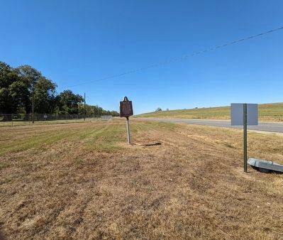
Near Plaquemine in West Baton Rouge Parish, Louisiana — The American South (West South Central)
Sardine Point
The Cut Off
Side 1
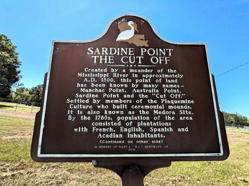
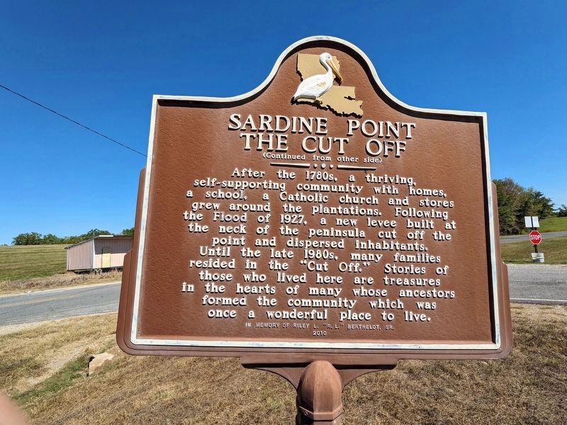
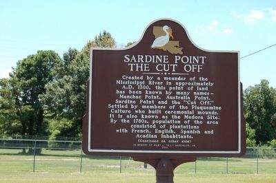
Created by a meander of the Mississippi River in approximately A.D. 1300, this point of land has been known by many names - Manchac Point, Australia Point, Sardine Point and the "Cut Off." Settled by members of the Plaquemine Culture who built ceremonial mounds, it is also known as the Medora Site. By the 1780s, population of the area consisted of plantations with French, Spanish and Acadian inhabitants.
Erected 2010 by In Memory of Riley L. "R.L." Berthelot, Sr.
Topics. This historical marker is listed in these topic lists: Environment • Native Americans • Settlements & Settlers • Waterways & Vessels. A significant historical year for this entry is 1300.
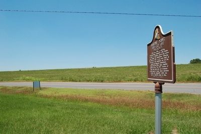
Location. 30° 19.996′ N, 91° 13.708′ W. Marker is near Plaquemine, Louisiana, in West Baton Rouge Parish. Marker is at the intersection of South River Road (State Highway 988) and River Road Cutoff Road, on the right when traveling south on South River Road. Touch for map. Marker is in this post office area: Plaquemine LA 70764, United States of America. Touch for directions.
Other nearby markers. At least 8 other markers are within 3 miles of this marker, measured as the crow flies. Morrisonville (approx. ¾ mile away); St. Delphine Plantation (approx. 1.8 miles away); Town Of Addis (approx. 2.4 miles away); Addis Museum (approx. 2.7 miles away); Bayou Plaquemine (approx. 2.8 miles away); St. Mary's A.M.E. Church (approx. 2.8 miles away); Gary J. Hebert Memorial Lockhouse (approx. 2.8 miles away); a different marker also named Bayou Plaquemine (approx. 2.8 miles away). Touch for a list and map of all markers in Plaquemine.
Credits. This page was last revised on October 9, 2023. It was originally submitted on August 16, 2015. This page has been viewed 469 times since then and 33 times this year. Photos: 1, 2. submitted on October 9, 2023, by Cajun Scrambler of Assumption, Louisiana. 3, 4. submitted on August 16, 2015. 5. submitted on October 9, 2023, by Cajun Scrambler of Assumption, Louisiana. • Bernard Fisher was the editor who published this page.
