Niagara Falls in Niagara County, New York — The American Northeast (Mid-Atlantic)
The Power of the American Rapids
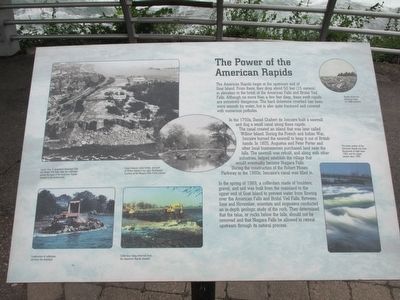
In the 1750's, Daniel Chabert de Joncaire built a sawmill and dug a small canal along these rapids. The canal created an island that was later called Willow Island. During the French and Indian War, Joncaire burned the sawmill to keep it out of British hands. In 1805, Augustus and Peter Porter and other local businessmen purchased land near the falls. The sawmill was rebuilt, and along with other industries, helped establish the village that would eventually become Niagara Falls. During the construction of the Robert Moses Parkway in the 1960s, Joncaire's canal was filled in.
In the spring of 1969, a cofferdam made of boulders, gravel, and soil was built from the mainland to the upper end of Goat Island to prevent water from flowing over the American Falls and Bridal Veil Falls. Between June and November, scientists and engineers conducted an in-depth geologic study of the rock. They determined that the talus, or rocks below the falls, should not be removed and that Niagara Falls be allowed to retreat upstream through its natural process.
Canal channel, rustic bridge, and part of Willow Island to the right. Photograph courtesy of the Niagara Falls Public Library.
Construction of cofferdam out from the mainland.
Cofferdam being removed from the American Rapids channel.
Rapids above the American Falls, ca. 1868 postcard.
The lower section of the American Rapids has been illuminated at night since 1989, and the upper section since 1998.
Topics. This historical marker is listed in these topic lists: Environment • Industry & Commerce • War, French and Indian • Waterways & Vessels. A significant historical year for this entry is 1750.
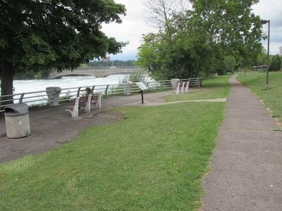
Location. 43° 5.02′ N, 79° 3.844′ W. Marker is in Niagara Falls, New York, in Niagara County. Marker can be reached from Niagara Scenic Parkway (New York State Route 957A) 0.1 miles west of 1st Street. Marker is in Niagara Falls State Park. It is on the mainland walking path beside the upper Niagara River, about midway between the two bridges to Goat Island. The Niagara Scenic Parkway is segmented here by the state park, and current construction has rolled it back farther; it does not quite reach the marker. Prior to 2016 the parkway went by its original name, the Robert Moses Parkway. Touch for map. Marker is in this post office area: Niagara Falls NY 14303, United States of America. Touch for directions.
Other nearby markers.
At least 8 other markers are within walking distance of this marker. Cataract House (about 300 feet away, measured in a direct line); The Red Coach Inn / Annex Building (about 300 feet away); Site of First House (about 600 feet away); Niagara County Medal of Honor Monument (about 600 feet away); Protecting Our Shared Waters (about 700 feet away); The Boundary Waters Treaty (about 800 feet away); The Ice Boom (approx. 0.2 miles away); Town of Niagara Civil War Memorial (approx. 0.2 miles away). Touch for a list and map of all markers in Niagara Falls.
Photographed By Anton Schwarzmueller, August 26, 2015
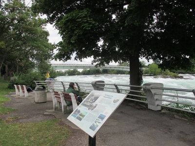
5. American Rapids & Marker & Violator
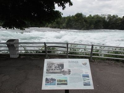
In one minute, a sharp-eyed passing park employee will stop his car and, on foot, approach the young blonde lady perched and meditating on the railing standard. She will be advised of her infraction: No climbing or breaching the railing.
Photographed By Anton Schwarzmueller, August 26, 2015
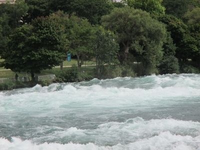
6. American Rapids
View towards upriver from the pedestrian bridge. The marker is in the area behind the railings at left. This view is actually obscured by the metal overdeck and reinforcement structure on the bridge; I aimed the lens between the various obstructions.
Photographed By Anton Schwarzmueller, August 26, 2015
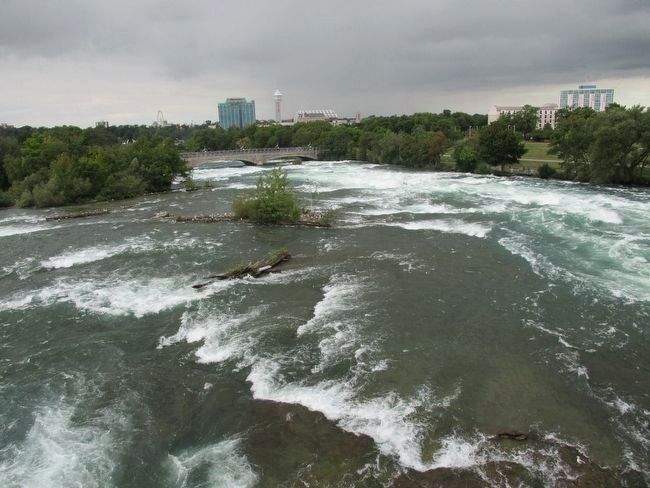
7. American Rapids
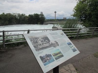
View from the vehicular bridge (1st Street) to Goat Island. Most pedestrians use the stone bridge in the background, but there are safe walkways here on this, the vehicular bridge. This is looking downstream. The buildings in the center background are in Canada. The marker is in the clearing to the right; the white building near the marker is the Comfort Inn. The glass building near the marker is the former Occidental Chemical office building, now housing food and souvenier vendors at ground level.
Credits. This page was last revised on September 12, 2016. It was originally submitted on August 30, 2015, by Anton Schwarzmueller of Wilson, New York. This page has been viewed 403 times since then and 15 times this year. Photos: 1, 2, 3, 4, 5, 6, 7. submitted on August 30, 2015, by Anton Schwarzmueller of Wilson, New York.
