Near Corbett in Multnomah County, Oregon — The American West (Northwest)
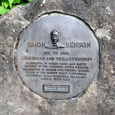
Simon Benson
1851 to 1942
| — | Lumberman and Philanthropist | — |
Photographed by Phyllis Prats, May 30, 2015
1. Simon Benson Marker
Patern and casting by Benson High School.
Topics. This historical marker is listed in these topic lists: Education • Industry & Commerce • Parks & Recreational Areas • Roads & Vehicles • Waterways & Vessels. A significant historical year for this entry is 1942.
Location. 45° 34.656′ N, 122° 7.023′ W. Marker is near Corbett, Oregon, in Multnomah County. It is on Historic Columbia River Highway 3.3 miles east of Bridal Veil, on the right when traveling east. It is at Multnomah Falls Lodge. Touch for map. Marker is in this post office area: Corbett OR 97019, United States of America. Touch for directions.

Regionally, this marker is in Oregon’s Columbia River Gorge, in the Willamette Valley, and in Greater Portland Area. It is also on the American Pacific Coast, in the Pacific Northwest, and in the Lewis & Clark Corridor. Globally, it is in North America, on the Ring of Fire, on the
this page online
Other nearby markers. At least 8 other markers are within 6 miles of this marker, measured as the crow flies: Welcome to Multnomah Falls (here, next to this marker); Discover Wahkeena Falls (approx. 0.6 miles away); Oneonta Gorge (approx. 2.2 miles away); Oneonta Tunnel (approx. 2.2 miles away); Lewis and Clark National Historic Trail (approx. 5.2 miles away in Washington); Passage Through Time (approx. 5.2 miles away in Washington); Journey Through the Columbia River Gorge (approx. 5.2 miles away in Washington); "Remarkable" Rock (approx. 5.2 miles away in Washington). Touch for a list and map of all markers in Corbett.
Also see . . . Wikipedia Entry for Simon Benson. “Benson is well remembered for his philanthropy. He has been quoted as having said: ‘"No one has the right to die and not leave something to the public and for the public good.’ Benson purchased a 400-acre tract of land in the Columbia River Gorge, which included Wahkeena Falls and Multnomah Falls, and deeded it to the City of Portland for a public park. Subsequently,
Photographed by Phyllis Prats, May 30, 2015
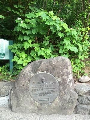
2. Simon Benson Marker
Photographed by J. J. Prats, May 30, 2015
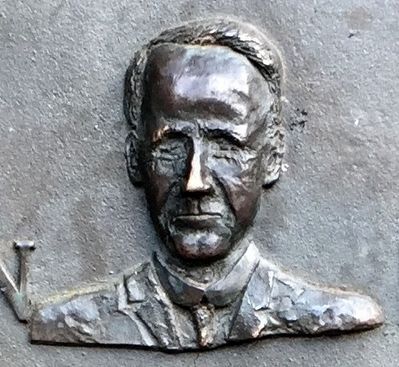
3. Simon Benson (1852–1942)
Credits. This page was last revised on December 3, 2019. It was originally submitted on December 2, 2015, by J. J. Prats of Powell, Ohio. This page has been viewed 648 times since then and 36 times this year. Photos: 1, 2, 3. submitted on December 2, 2015, by J. J. Prats of Powell, Ohio.
