
Rouen in Seine-Maritime, Normandy, France — Western Europe
Le Bucher
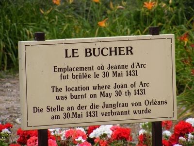
Photographed by Don Morfe, June 29, 2008
1. Le Bucher Marker

Topics. This historical marker is listed in these topic lists: Law Enforcement • Patriots & Patriotism • Women. A significant historical date for this entry is May 30, 1431.
Location. 49° 26.593′ N, 1° 5.286′ E. Marker is in Rouen, Normandie (Normandy), in Seine-Maritime. It is on Place du Vieux Marché. Touch for map. Marker is at or near this postal address: 53 Place du Vieux Marché, Rouen, Normandie 76000, France. Touch for directions.

Regionally, it is in the North Atlantic Region, Europe, the European Union, Atlantic Europe, the Schengen Area, Western Europe, a coastal Mediterranean country, and the Western World. Historically, it finds itself in what was once a French colony and also the Roman Empire.
Other nearby markers. At least 8 other markers are within 16 kilometers of this marker, measured as the crow flies: Robert Cavelier de La Salle (approx. 0.4 kilometers away); Moulineaux Memorial (approx. 14.7 kilometers
this page online
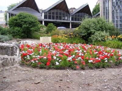
Photographed by Don Morfe, June 29, 2008
2. Le Bucher Marker
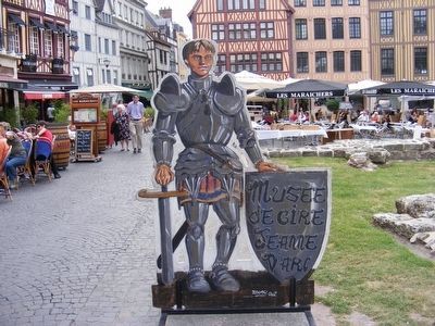
Photographed by Don Morfe, June 29, 2008
3. St. Joan d'Arc Place
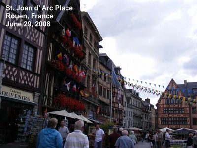
Photographed by Don Morfe, June 29, 2008
4. St. Joan d'Arc Place
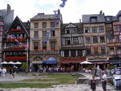
Photographed by Don Morfe, June 29, 2008
5. St. Joan d'Arc Place
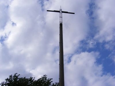
Photographed by Don Morfe, June 29, 2008
6. St. Joan d'Arc Place
Credits. This page was last revised on June 16, 2024. It was originally submitted on January 9, 2016, by Don Morfe of Baltimore, Maryland. This page has been viewed 1,159 times since then and 145 times this year. Photos: 1, 2, 3, 4, 5, 6. submitted on January 9, 2016, by Don Morfe of Baltimore, Maryland. • Bill Pfingsten was the editor who published this page.
