Near Richmond in Henrico County, Virginia — The American South (Mid-Atlantic)
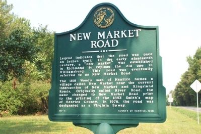
New Market Road
The 1819 Wood's map of Henrico names a village called New Market near the current intersection of New Market and Kingsland Roads. Originally called River Road, the name changed to New Market Road prior to the printing of the 1853 Smith's map of Henrico County. In 1976, the road was designated as a Virginia Byway.
Erected 1998 by County of Henrico. (Marker Number HC-11.)
Topics. This historical marker is listed in these topic lists: Man-Made Features • Roads & Vehicles. A significant historical year for this entry is 1819.
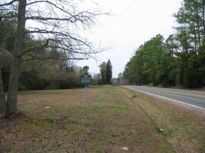
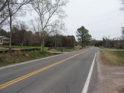
Location. 37° 25.682′ N, 77° 18.543′ W. Marker is near Richmond, Virginia, in Henrico County. Marker is on New Market Road (Virginia Route 5) one mile east of Interstate 295, on the right when traveling east. Touch for map. Marker is in this post office area: Henrico VA 23231, United States of America. Touch for directions.
Other nearby markers. At least 8 other markers are within 2 miles of this marker, measured as the crow flies. Pleasants v. Pleasants (approx. half a mile away); The War of 1812 / Richmond's War of 1812 Defensive Camps (approx. half a mile away); Battle of New Market Heights (approx. half a mile away); New Market Heights (approx. 0.7 miles away); a different marker also named New Market Heights (approx. 0.7 miles away); a different marker also named New Market Heights (approx. ¾ mile away); First Battle of Deep Bottom (approx. 1.1 miles away); George Thorpe (approx. 1.2 miles away). Touch for a list and map of all markers in Richmond.
Credits. This page was last revised on June 16, 2016. It was originally submitted on July 17, 2008, by Kathy Walker of Stafford, Virginia. This page has been viewed 1,842 times since then and 56 times this year. Photos: 1. submitted on July 17, 2008, by Kathy Walker of Stafford, Virginia. 2, 3. submitted on August 22, 2010, by Craig Swain of Leesburg, Virginia. • Christopher Busta-Peck was the editor who published this page.


