Near Richmond in Henrico County, Virginia — The American South (Mid-Atlantic)
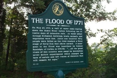
The Flood of 1771
On May 27, 1771, a wall of water came roaring down the James River valley following ten to twelve days of intensive rain. As water swept through Richmond, buildings, boats, animals, and vegetation were lost. About one hundred fifty people were killed as the river reached a flood stage of forty-five feet above normal. A monument to the flood was inscribed by Ryland Randolph, of Curles, in 1771-72: "... all the great rivers of this country were swept by inundations never before experienced which changed the face of nature and left traces of violence that will remain for ages."
Erected 2003 by County of Henrico. (Marker Number HC-20.)
Topics. This historical marker is listed in these topic lists: Colonial Era • Disasters • Waterways & Vessels. A significant historical month for this entry is May 1862.
Location. 37° 24.369′ N, 77° 16.167′ W. Marker is near Richmond, Virginia, in Henrico County. Marker is at the intersection of New Market Road (Virginia Route 5) and Curles Neck Road, on the right when traveling east on New Market Road. Touch for map. Marker is in this post office area: Henrico VA 23231, United States of America. Touch for directions.
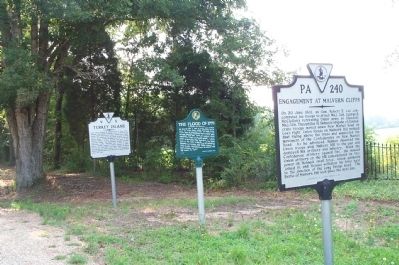
Other nearby markers. At least 8 other markers are within walking distance of this marker. Engagement at Malvern Cliffs (here, next to this marker); Turkey Island (here, next to this marker); Turkey Island Mansion (here, next to this marker); James Crewes (a few steps from this marker); Captain Thomas Harris (approx. 0.4 miles away); Curles Neck and Bremo (approx. 0.4 miles away); Nathaniel Bacon (approx. half a mile away); Malvern Cliffs (approx. 0.9 miles away). Touch for a list and map of all markers in Richmond.
Also see . . . Flood Marker of 1771. Virginia Department of Historic Resources website entry (Submitted on July 21, 2008, by Craig Swain of Leesburg, Virginia.)
Credits. This page was last revised on February 19, 2023. It was originally submitted on July 17, 2008, by Kathy Walker of Stafford, Virginia. This page has been viewed 4,818 times since then and 92 times this year. Photos: 1, 2. submitted on July 17, 2008, by Kathy Walker of Stafford, Virginia. • Craig Swain was the editor who published this page.
Editor’s want-list for this marker. Photo of the stone monument to the flood (see link). • Can you help?

