Near Charles City in Charles City County, Virginia — The American South (Mid-Atlantic)
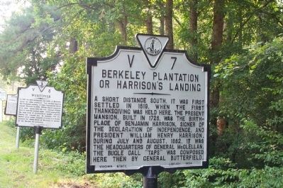
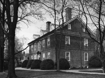
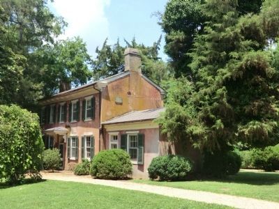
Berkeley Plantation or Harrison's Landing
Erected 1954 by Virginia State Library. (Marker Number V-7.)
Topics and series. This historical marker is listed in these topic lists: Agriculture • Colonial Era • Settlements & Settlers • War, US Civil • War, US Revolutionary. In addition, it is included in the Former U.S. Presidents: #09 William Henry Harrison, the Signers of the Declaration of Independence, and the Virginia Department of Historic Resources (DHR) series lists. A significant historical year for this entry is 1619.
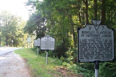
Location. This marker has been replaced by another marker nearby. It was located near 37° 19.862′ N, 77° 11.446′ W. Marker was near Charles City, Virginia, in Charles City County. Marker was at the intersection of John Tyler Memorial Highway (Virginia Route 5) and Kimages Road, on the right when traveling east on John Tyler Memorial Highway. Touch for map. Marker was in this post office area: Charles City VA 23030, United States of America. Touch for directions.
Other nearby markers. At least 8 other markers are within one mile of this location, measured as the crow flies. A different marker also named Berkeley Plantation or Harrison's Landing (here, next to this marker); First English Thanksgiving in Virginia (here, next to this marker); Westover (here, next to this marker); Herring Creek & Kimages (a few steps from this marker); Emanuel Quivers (a few steps from this marker); Stuart's Ride (approx. ¼ mile away); Herring Creek (approx. half a mile away); Berkeley and Harrison's Landing (approx. one mile away). Touch for a list and map of all markers in Charles City.
Related marker. Click here for another marker that is related to this marker. This marker has been replaced with the linked marker which has different content.
Credits. This page was last revised on June 26, 2021. It was originally submitted on July 18, 2008, by Kathy Walker of Stafford, Virginia. This page has been viewed 2,461 times since then and 76 times this year. Photos: 1, 2. submitted on July 18, 2008, by Kathy Walker of Stafford, Virginia. 3. submitted on December 9, 2009, by Bernard Fisher of Richmond, Virginia. 4. submitted on September 18, 2012, by Don Morfe of Baltimore, Maryland. • Craig Swain was the editor who published this page.


