New Brunswick in Middlesex County, New Jersey — The American Northeast (Mid-Atlantic)
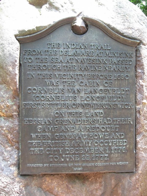
The Indian Trail
Erected 1938 by Students of the New Jersey College for Women.
Topics. This historical marker is listed in these topic lists: Colonial Era • Native Americans • Settlements & Settlers • War, US Revolutionary • Women. A significant historical year for this entry is 1680.
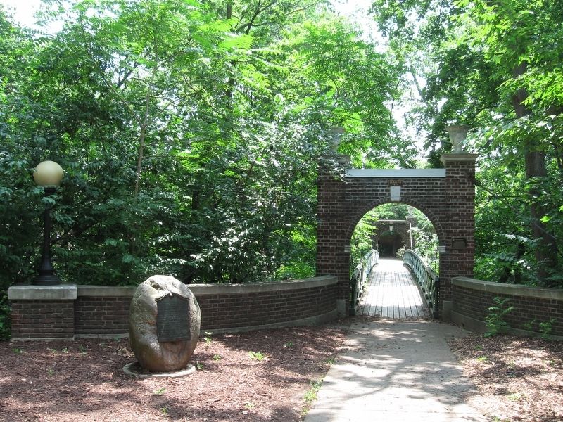
Location. 40° 29.157′ N, 74° 26.108′ W. Marker is in New Brunswick, New Jersey, in Middlesex County. Marker can be reached from Chapel Drive. Marker is located behind the Mabel Smith Douglas Library, near the Ravine Bridge. Touch for map. Marker is in this post office area: New Brunswick NJ 08901, United States of America. Touch for directions.
Other nearby markers. At least 8 other markers are within walking distance of this marker. The Ravine Bridge (a few steps from this marker); Selman Waksman and Antibiotics (approx. 0.4 miles away); Milestones in Microbiology (approx. 0.4 miles away); Sister City September 11 Memorial (approx. 0.7 miles away); Henry Guest House (approx. 0.7 miles away); Sister City Memorial (approx. 0.7 miles away); Purple Heart Memorial (approx. 0.7 miles away); College Hall (approx. 0.7 miles away). Touch for a list and map of all markers in New Brunswick.
Credits. This page was last revised on November 11, 2016. It was originally submitted on July 13, 2016, by Stephen Kokoska of North Brunswick, New Jersey. This page has been viewed 804 times since then and 32 times this year. Photos: 1, 2. submitted on July 13, 2016, by Stephen Kokoska of North Brunswick, New Jersey. • Bill Pfingsten was the editor who published this page.

