Durham in Strafford County, New Hampshire — The American Northeast (New England)
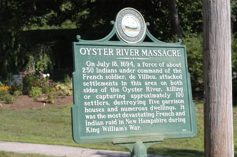
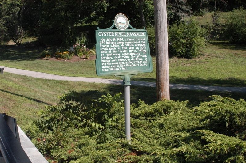
Oyster River Massacre
Erected 1993 by New Hampshire Division of Historical Resources. (Marker Number 050.)
Topics. This historical marker is listed in these topic lists: Disasters • Native Americans. A significant historical date for this entry is July 18, 1694.
Location. 43° 7.867′ N, 70° 55.123′ W. Marker is in Durham, New Hampshire, in Strafford County. Marker is on Newmarket Road (New Hampshire Route 108), on the right when traveling east. Marker is just over the bridge on the Oyster River. Touch for map. Marker is in this post office area: Durham NH 03824, United States of America. Touch for directions.
Other nearby markers. At least 8 other markers are within 5 miles of this marker, measured as the crow flies. Major General John Sullivan (about 400 feet away, measured in a direct line); Major General John Sullivan Memorial (about 400 feet away); Durham New Hampshire War Memorial Marker (approx. 0.4 miles away); Packer's Falls (approx. 1.2 miles away); The Alexander Scammell Bridge over the Bellamy River (approx. 3.3 miles away); Dr. Jeremy Belknap (1744 - 1798) (approx. 3.9 miles away); Wentworth Cheswill (approx. 4 miles away); Dover NH Libby WWI Memorial (approx. 4˝ miles away). Touch for a list and map of all markers in Durham.
Credits. This page was last revised on March 13, 2024. It was originally submitted on August 3, 2016, by James R. Murray of Elkton, Florida. This page has been viewed 940 times since then and 92 times this year. Last updated on March 12, 2024, by Kevin Klasman of Nashua, New Hampshire. Photos: 1, 2. submitted on August 3, 2016, by James R. Murray of Elkton, Florida. • Devry Becker Jones was the editor who published this page.

