Van Buren in Crawford County, Arkansas — The American South (West South Central)
Log Town Hill
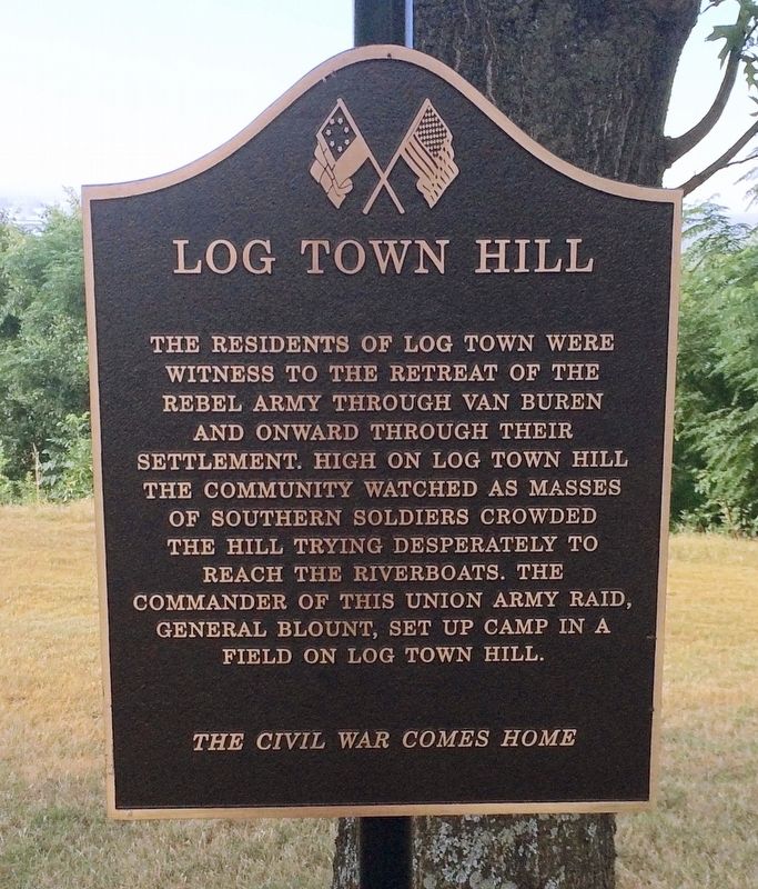
Photographed by Mark Hilton, August 3, 2016
1. Log Town Hill Marker
Erected by Van Buren Advertising & Promotion Commission.
Topics. This historical marker is listed in these topic lists: Natural Features • War, US Civil • Waterways & Vessels.
Location. 35° 26.609′ N, 94° 21.242′ W. Marker is in Van Buren, Arkansas, in Crawford County. It is on Fayetteville Road (State Highway 59) south of Hynes Street, on the right when traveling south. Touch for map. Marker is at or near this postal address: 617 Fayetteville Road, Van Buren AR 72956, United States of America. Touch for directions.

Regionally, this marker is in the Arkansas River Valley, in the Cherokee Heritage Region, and in Osage Territory. It is also in the American South, specifically
this page online
Other nearby markers. At least 8 other markers are within walking distance of this marker: Fairview Cemetery (approx. ¼ mile away); Fairview Cemetery Confederate Memorial (approx. ¼ mile away); The War Comes Home (approx. 0.4 miles away); The Civil War Comes to Van Buren (approx. 0.4 miles away); The Heart of Van Buren (approx. half a mile away); The Frisco Depot (approx. half a mile away); Four Freedoms (approx. half a mile away); Camp Jesse Turner (approx. half a mile away). Touch for a list and map of all markers in Van Buren.
More about this marker. General Blount should read General Blunt.
Also see . . .
1. The Battle of Van Buren - Winter Battle on the Arkansas River. (Submitted on August 8, 2016, by Mark Hilton of Montgomery, Alabama.)
2. Wikipedia article on the Battle of Van Buren.
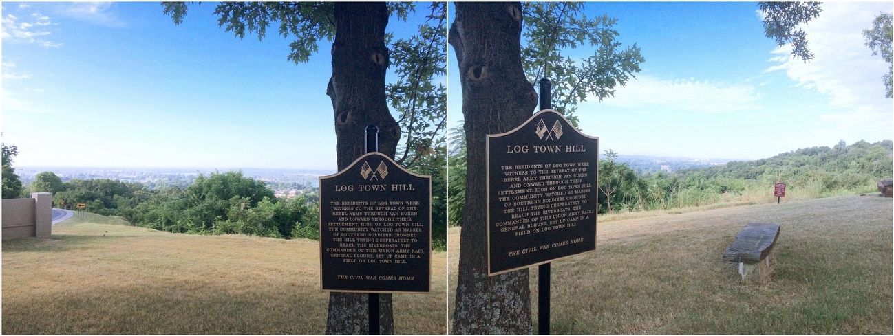
Photographed by Mark Hilton
2. Views from Log Town Hill of areas mentioned on marker.
Downtown Van Buren in the valley below, along with the Arkansas River.
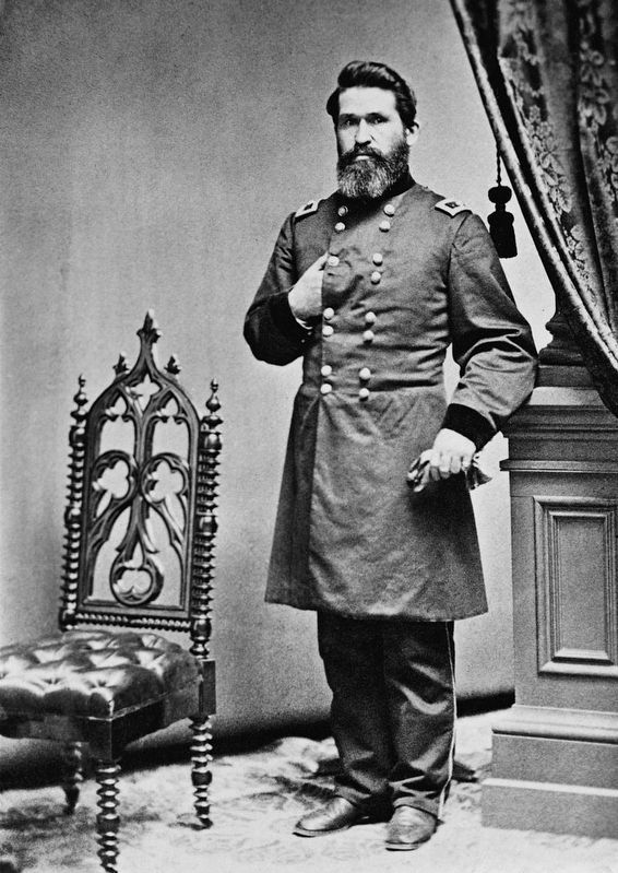
Public Domain - Library of Congress, Prints & Photographs Division
3. Union General James Gillpatrick Blunt
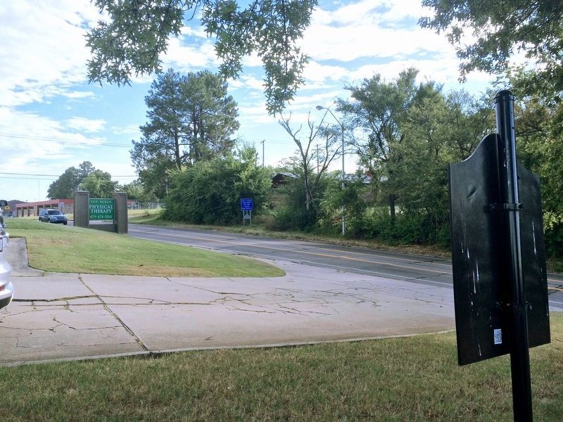
Photographed by Mark Hilton, August 3, 2016
4. View from marker north on Fayetteville Road and Hynes Street.
Credits. This page was last revised on August 9, 2016. It was originally submitted on August 8, 2016, by Mark Hilton of Montgomery, Alabama. This page has been viewed 2,292 times since then and 185 times this year. Photos: 1, 2, 3, 4. submitted on August 8, 2016, by Mark Hilton of Montgomery, Alabama.
