Oak Ridge in Cooke County, Texas — The American South (West South Central)
Gainesville

Photographed by Gary Estep, November 22, 2025
1. Gainesville Marker
Erected 1964 by State Historical Survey Committee. (Marker Number 2097.)
Topics. This historical marker is listed in these topic lists: Agriculture • Indigenous Peoples and Communities • Settlements & Settlers • War, US Civil. A significant historical year for this entry is 1850.
Location. 33° 39.066′ N, 97° 2.252′ W. Marker is in Oak Ridge, Texas, in Cooke County. It can be reached from U.S. 82 east of Parkside Circle when traveling west. Located in the westbound roadside rest area. Touch for map. Marker is in this post office area: Gainesville TX 76240, United States of America. Touch for directions.

Regionally, this marker is in the Prairies & Lakes Region. It is also in the American South. Globally, it is in North America, a Gulf of Mexico state, the Western Hemisphere, the Western World, and the Anglosphere. Historically,
this page online
Other nearby markers. At least 8 other markers are within 6 miles of this marker, measured as the crow flies: The Cross Timbers (about 700 feet away, measured in a direct line); Nelson Grove Cemetery (approx. 2 miles away); Oak Grove Community (approx. 3 miles away); Callisburg United Methodist Church (approx. 3.6 miles away); Gainesville State School (approx. 3.6 miles away); First Oil Well in Cooke County (approx. 3.7 miles away); Akers Cemetery (approx. 4½ miles away); J.D. “Ikard” Sugg (approx. 5.2 miles away).
Also see . . . Texas State Historical Association article on Gainesville. (Submitted on September 8, 2016, by Mark Hilton of Montgomery, Alabama.)
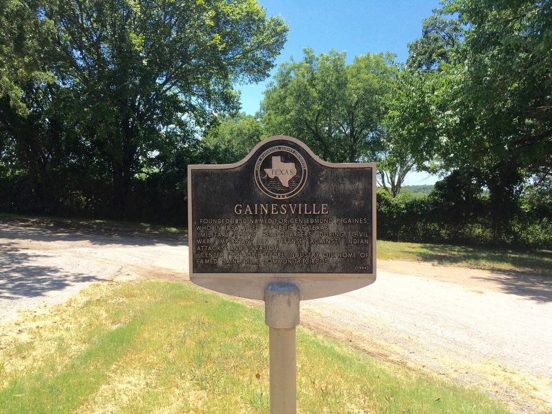
Photographed by Mark Hilton, July 21, 2016
2. Gainesville Marker at roadside rest area.
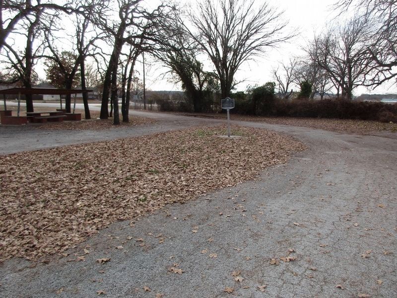
Photographed by Jeff Leichsenring, December 19, 2023
3. Gainesville Marker
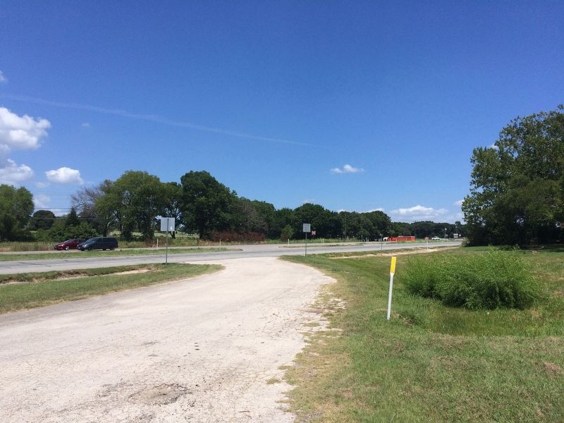
Photographed by Mark Hilton, July 21, 2016
4. Roadside rest area is across Highway 82 in distance.
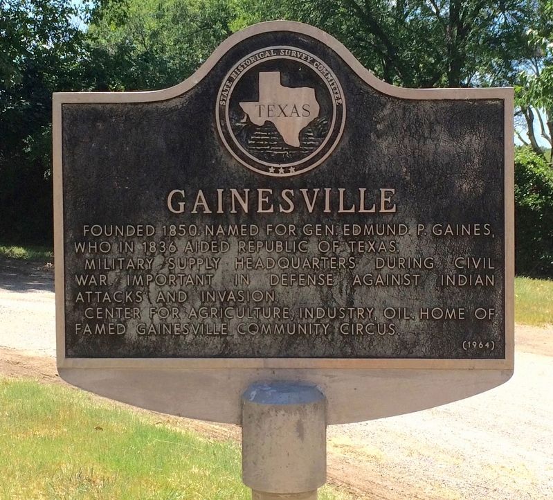
Photographed by Mark Hilton, July 21, 2016
5. Gainesville Marker
Credits. This page was last revised on February 15, 2026. It was originally submitted on September 8, 2016, by Mark Hilton of Montgomery, Alabama. This page has been viewed 922 times since then and 50 times this year. Photos: 1. submitted on February 13, 2026, by Gary Estep of Anna, Texas. 2. submitted on September 8, 2016, by Mark Hilton of Montgomery, Alabama. 3. submitted on December 19, 2023, by Jeff Leichsenring of Garland, Texas. 4, 5. submitted on September 8, 2016, by Mark Hilton of Montgomery, Alabama.
