Melchor de Mencos, Petén, Guatemala — Central America
Minor Astronomical Complex at Yaxhá
(Plaza C)
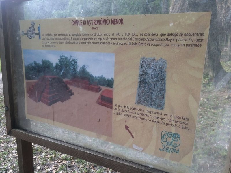
Complejo Astronómico Menor
(Plaza C)
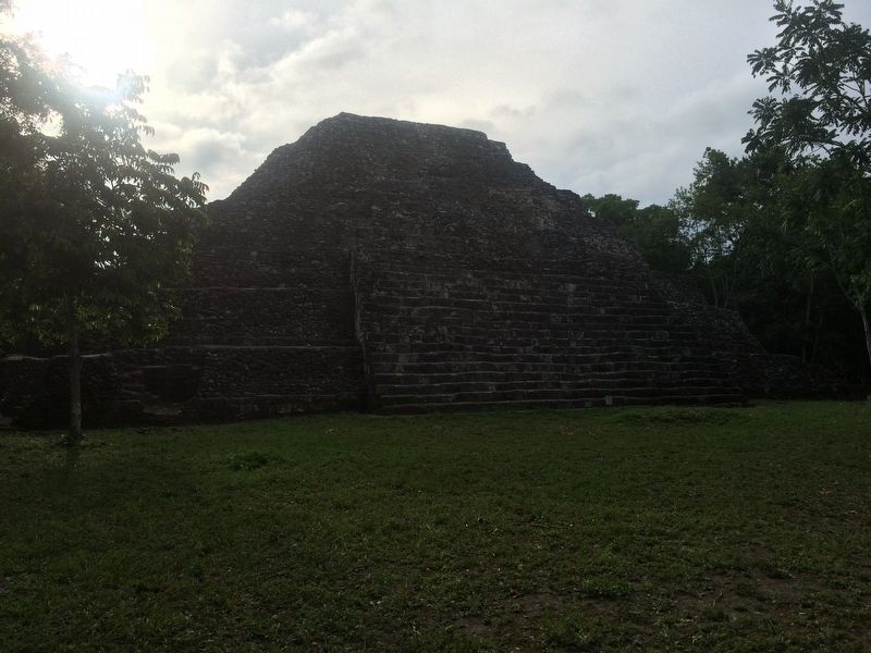
Los edificios que conforman el complejo fueron construidos entre el 700 y 800 a.C., se considera que debajo se encuentran construcciones aún más antiguas. El conjunto representa una réplica de menor tamaño del Complejo Astrónomico Mayor (Plaza F), lugar donde se conmemoraba el tránsito del sol y su relación con los solsticios y equinoccios. El lado Oeste es ocupado por una gran pirámide de 4 escalinatas.
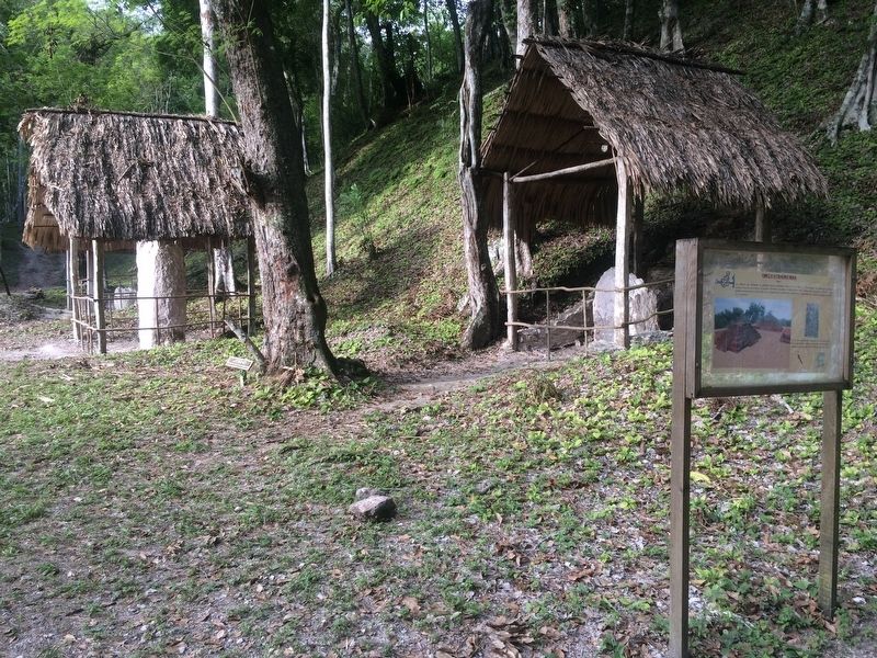
Al pié de la plataforma longitudinal en el lado Este de la plaza fueron exhibidas estelas que representaron a gobernantes importantes de Yaxhá del período Clásico.
The buildings that make up the complex here were built between 700 and 800 B.C. There are possibly even older buildings underneath the complex. The complex is a smaller replica of the Major Astronomical Complex (Plaza F), where the transit of the sun and its relationship with the solstices and equinoxes was commemorated. The west side is occupied by a large pyramid made up of four steps.
At the foot of the longitudinal platform on the east side of the square stela were displayed that represented important rulers of the Classic Period of Yaxhá.
Topics. This historical marker is listed in these topic lists: Anthropology & Archaeology • Architecture • Man-Made Features • Native Americans.
Location. 17° 4.228′ N, 89° 23.972′ W. Marker is in Melchor de Mencos, Petén. The marker is just inside to the right of the Yaxhá Archaeological Park entrance. The park is some 5 kilometers north of the village of El Zapote, turning from the CA13 road. Touch for map. Marker is in this post office area: Melchor de Mencos, Petén 17011, Guatemala. Touch for directions.
Other nearby markers. At least 8 other markers are within walking distance of this marker. Yaxhá (a few steps from this marker); Plaza of the Columns (about 120 meters away, measured in a direct line); The Quarry Causeway (about 180 meters away); The Eastern Acropolis of Yaxhá (about 180 meters away); East Causeway Residential Zone (approx. 0.3 kilometers away); Intersection of the Eastern and Quarry Causeways (approx. 0.4 kilometers away); Sacrificial Pyramid (approx. half a kilometer away); The Palace's Ballgame (approx. half a kilometer away). Touch for a list and map of all markers in Melchor de Mencos.

Photographed By J. Makali Bruton, August 19, 2016
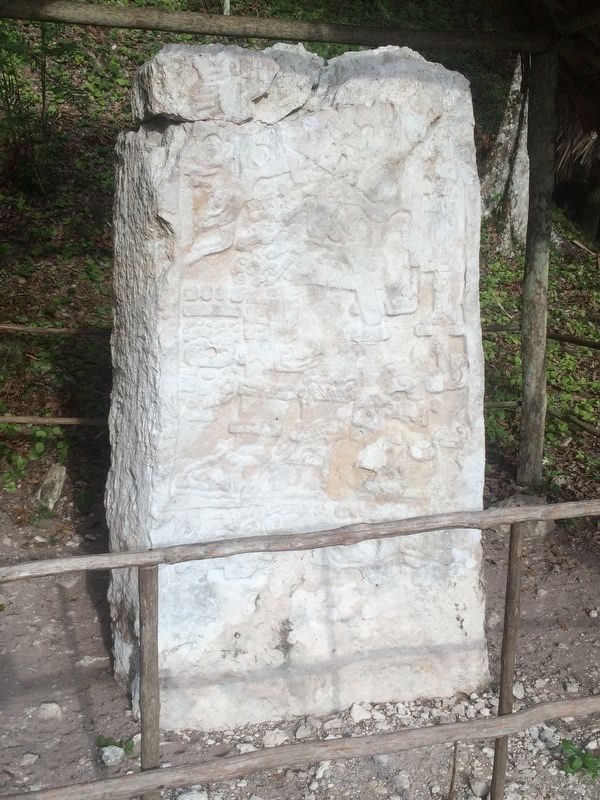
2. Stela 4 of Plaza C at Yaxhá
The stela mentioned in the marker is Stela 4, the central stela on the east side of Plaza C and is the best preserved of the three Early Classic monuments. It bears the sculpted image of a standing figure with left-facing feet standing upon a grotesque head. Two hieroglyphs are carved to the left of the figure's knees. One of the glyphs preserved on Stela 4 is the Emblem Glyph of Yaxhá. It is a parrot figure to the right of the figure's feet.
Credits. This page was last revised on March 2, 2018. It was originally submitted on October 26, 2016, by J. Makali Bruton of Accra, Ghana. This page has been viewed 295 times since then and 23 times this year. Photos: 1, 2, 3, 4. submitted on October 26, 2016, by J. Makali Bruton of Accra, Ghana.


