Plymouth in Plymouth County, Massachusetts — The American Northeast (New England)
Metacomet (King Philip)
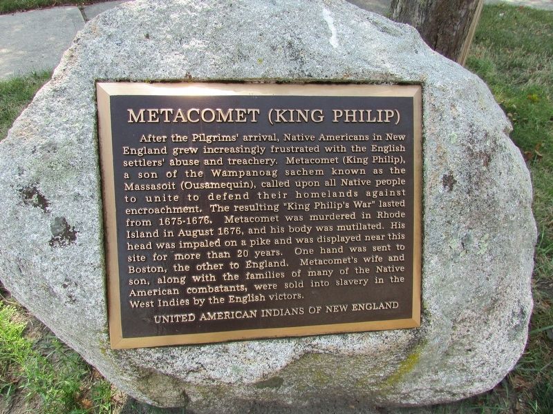
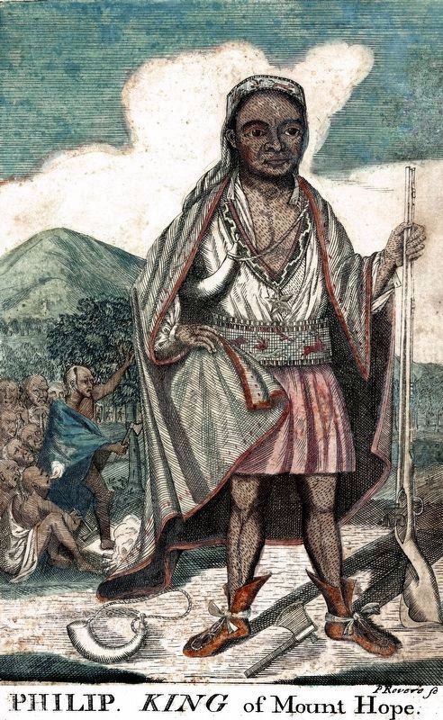
After the Pilgrims’ arrival, Native Americans in New England grew increasingly frustrated with the English settlers’ abuse and treachery. Metacomet (King Philip), a son of the Wampanoag sachem known as the Massasoit (Ousamequin), called upon all native people to unite to defend their homelands against encroachment. The resulting “King Philip’s War” lasted from 1675-1676. Metacomet was murdered in Rhode Island in August 1676, and his body was mutilated. His head was impaled on a pike and was displayed near this site for more than 20 years. One hand was sent to Boston, the other to England. Metacomet’s wife and son, along with the families of many of the Natiive American combatants, were sold into slavery in the West Indies by the English victors.
United American Indians of New England
Erected by United American Indians of New England.
Topics. This historical marker is listed in these topic lists: Colonial Era • Wars, US Indian.
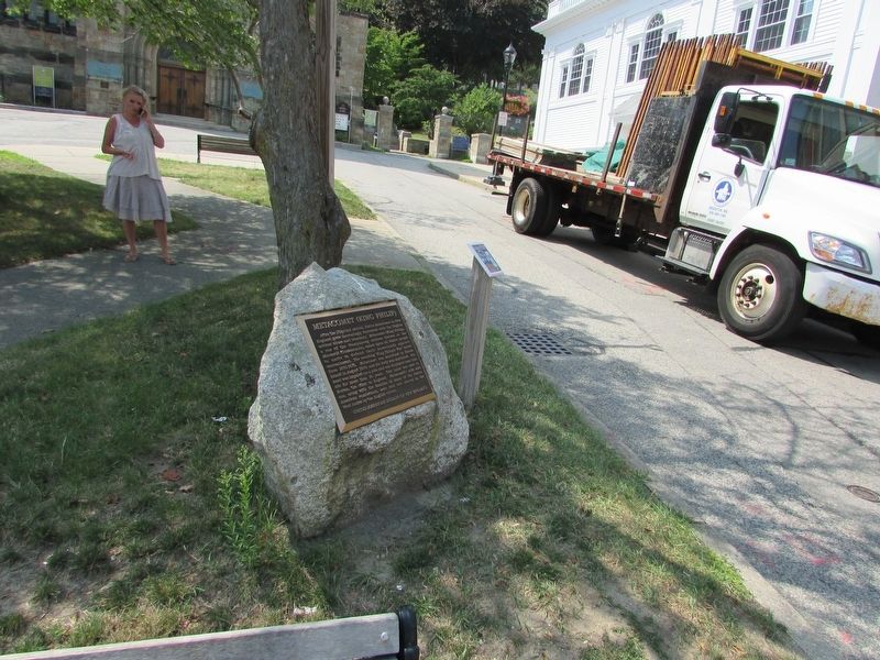
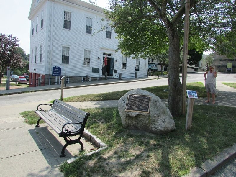
Location. 41° 57.341′ N, 70° 39.867′ W. Marker is in Plymouth, Massachusetts, in Plymouth County. Marker is at the intersection of Main Street and Town Square, on the left when traveling north on Main Street. Touch for map. Marker is in this post office area: Plymouth MA 02360, United States of America. Touch for directions.
Other nearby markers. At least 8 other markers are within walking distance of this marker. The Town House of Plymouth (a few steps from this marker); Unitarian Controversy of 1801 (a few steps from this marker); The Church of Scrooby Leyden and the Mayflower (within shouting distance of this marker); Burial Hill (within shouting distance of this marker); Alexander Scammell (within shouting distance of this marker); William Brewster House Site (within shouting distance of this marker); John Alden (within shouting distance of this marker); Edward Doty (within shouting distance of this marker). Touch for a list and map of all markers in Plymouth.
Credits. This page was last revised on November 11, 2020. It was originally submitted on August 25, 2017, by Bill Coughlin of Woodland Park, New Jersey. This page has been viewed 1,255 times since then and 142 times this year. Photos: 1, 2, 3. submitted on August 25, 2017, by Bill Coughlin of Woodland Park, New Jersey. 4. submitted on November 10, 2020, by Allen C. Browne of Silver Spring, Maryland.


