Ruskin in Hillsborough County, Florida — The American South (South Atlantic)
Landing in La Florida
Florida De Soto Trail
— May 30, 1539 —
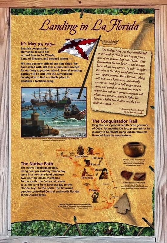
Spanish conquistador Hernando de Soto has arrived here in La Florida, Land of Flowers, and stepped ashore –
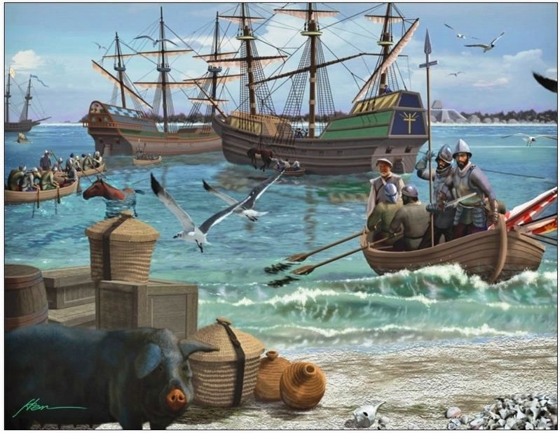
My men can now offload our nine ships. We have sailed with 500 tons of materials needed for our long expedition ahead. Several scouting parties will be sent into the surrounding countryside to find a suitable place to establish a fortified camp.
”On Friday, May 30, they disembarked on the land of Florida, two leagues from a town of an Indian chief called Ucita. They disembarked the two hundred and thirteen horses which they carried, in order to lighten the ships so that they would need less water. The captain general, Vasco Porcallo, taking with him seven horse[men], immediately overran the land for a half league round about and found six Indians who tried to oppose him with their arrows – weapons with which they are accustomed to fight. The horsemen killed two of them and the four [others] escaped…”
- Account by Rodrigo Rangel
The De Soto Chronicles
The Conquistador Trail
King Charles V proclaimed De Soto governor of Cuba. For months, De Soto prepared for his journey to La Florida using Cuban resources financed from his own fortune.
The Native Path
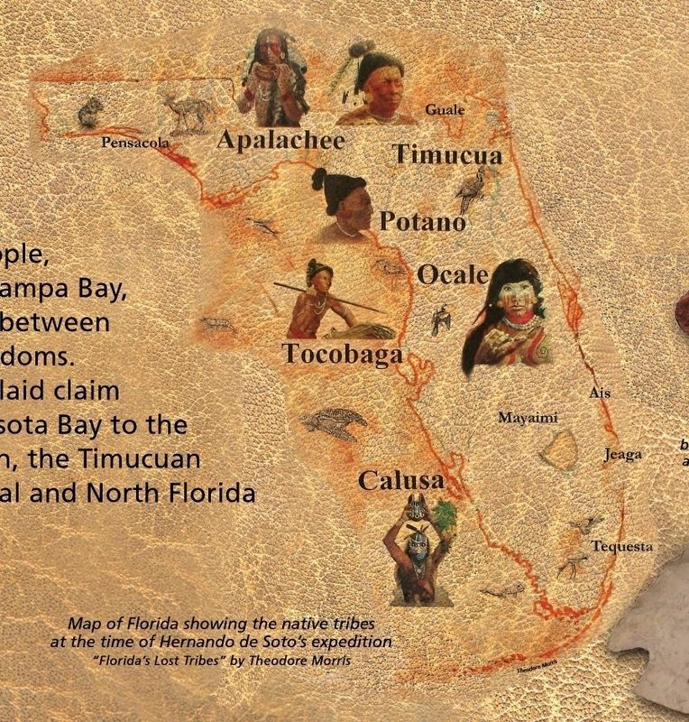
The native Tocobaga people, living near present-day Tampa Bay, were in a no-man’s-land between two warring Indian chiefdoms. To the south, the Calusa laid claim to all the land from Sarasota Bay to the Florida Keys. To the north, the Timucuan peoples controlled Central and North Florida to the Aucilla River.
Erected by Florida De Soto Trail, Florida Department of Transportation, the Florida Park Service, and the National Park Service. (Marker Number 3.)
Topics. This historical marker is listed in these topic lists: Colonial Era • Exploration • Native Americans • Notable Events. A significant historical date for this entry is May 30, 1539.
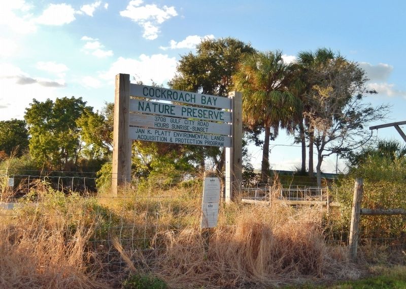
Location. 27° 41.472′ N, 82° 30.103′ W. Marker is in Ruskin, Florida, in Hillsborough County. Marker is on Gulf City Road, ¼ mile north of Cockroach Bay Road, on the left when traveling north. Marker is located within the Cockroach Bay Aquatic Preserve, at the south end of the nature trail parking lot. Touch for map. Marker is at or near this postal address: 3709 Gulf City Road, Ruskin FL 33570, United States of America. Touch for directions.
Other nearby markers. At least 8 other markers are within 10 miles of this marker, measured as the crow flies. Miracle at Cockroach Bay The Leisey Shell Fossils (approx. 0.6 miles away); Staking Their Claim (approx. 4.3 miles away); Ruskin College President's Home (approx. 4.4 miles away); Rubonia Women's Club (approx.
8.4 miles away); Veterans of Rubonia (approx. 8.4 miles away); Miranda Home (approx. 8.9 miles away); Do You See a Manatee? (approx. 9.1 miles away); Listen carefully to hear a manatee! (approx. 9.2 miles away). Touch for a list and map of all markers in Ruskin.
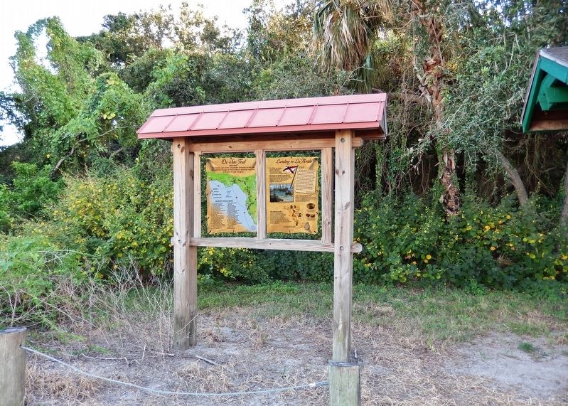
More about this marker. Marker is a large, composite plaque mounted vertically within a heavy-duty wooden kiosk.
Regarding Landing in La Florida. Hernando de Soto landed at Tampa Bay in 1539 and made his way north in search of gold and riches. A controversial figure in American history, Spanish Conquistador Hernando de Soto is regarded as a hero and brave explorer by some — and an overzealous madman by others. The De Soto Trail shows him as a product of Medieval Europe, a brutal society forged over 780 years of warfare. It also tells the story of the Native American peoples of 16th-century Florida, a highly advanced collection of chiefdoms struggling against each other to gain dominance over their regions.
Related markers. Click here for a list of markers that are related to this marker. Florida De Soto Trail
Also see . . .
De Soto’s Expedition to North America. In 1536, de Soto obtained a royal commission to conquer and settle the region known as La Florida (now the southeastern United States), which had been the site of earlier explorations by Juan Ponce de León and others. De Soto set out from Spain in April 1538, set with 10 ships and 700 men. After a stop in Cuba, the expedition landed at Tampa Bay in May 1539. They moved inland and eventually set up camp for
the winter at a small Indian village near present-day Tallahassee. (Submitted on November 8, 2018, by Cosmos Mariner of Cape Canaveral, Florida.)
Photographed By Cosmos Mariner, October 31, 2018
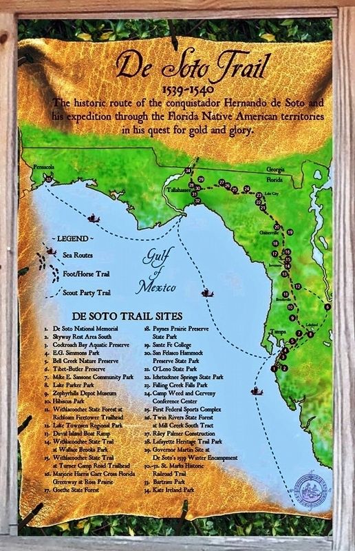
4. Florida De Soto Trail Map (panel to the left of marker in kiosk)
1539-1540
Credits. This page was last revised on December 20, 2020. It was originally submitted on November 7, 2018, by Cosmos Mariner of Cape Canaveral, Florida. This page has been viewed 516 times since then and 41 times this year. Last updated on November 21, 2018, by Cosmos Mariner of Cape Canaveral, Florida. Photos: 1. submitted on November 7, 2018, by Cosmos Mariner of Cape Canaveral, Florida. 2, 3. submitted on November 8, 2018, by Cosmos Mariner of Cape Canaveral, Florida. 4, 5, 6. submitted on November 7, 2018, by Cosmos Mariner of Cape Canaveral, Florida. • Bernard Fisher was the editor who published this page.
