Glendale in Maricopa County, Arizona — The American Mountains (Southwest)
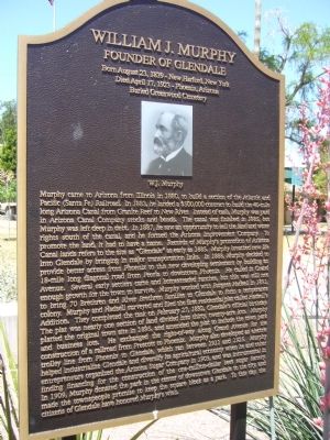
William J. Murphy
Founder of Glendale
Died April 17, 1923 – Phoenix, Arizona
Buried Greenwood Cemetery
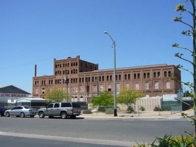
Murphy came to Arizona from Illinois in 1880, to build a section of the Atlantic and Pacific (Santa Fe) Railroad. In 1883, he landed a $500,000 contract to build the 40-mile long Arizona Canal from Granite Reef to New River. Instead of cash, Murphy was paid in Arizona Canal Company stocks and bonds. The canal was finished in 1885, but Murphy was left deep in debt. In 1887, he saw an opportunity to sell the land and water rights south of the canal, and he formed the Arizona Improvement Company. To promote the land, it had to have a name. Records of Murphy's promotion of Arizona Canal lands refers to the site as "Glendale" as early as 1885. Murphy breathed new life into Glendale by bringing in major transportation links. In 1888, Murphy decided to provide better access from Phoenix to this new developing settlement by building an 18-mile long diagonal road from Peoria to downtown Phoenix. He called it Grand Avenue. Several early settlers came and homesteaded ranches, but this was still not enough growth for the town to survive. Murphy worked with Burgess Hadsell in 1891, to bring 70 Brethren and River Brethren families to Glendale to form a temperance colony. Murphy and Hadsell surveyed and filed the first residential plat called Hadsell's Addition. They completed the task on February 27, 1892, Glendale's official birthday. The plat was nearly one section of land divided into thirty, twenty-acre lots. Murphy platted the original town site in 1895, and amended the plat to include the town park and business lots. He exchanged the right-of-way along Grand Avenue for the construction of a railroad from Prescott to Phoenix. Murphy also developed an electric trolley line from Phoenix to Glendale, which ran between 1911 and 1925. Murphy helped industrialize Glendale and diversify its agricultural economy when he and other entrepreneurs organized the Arizona Sugar Company in 1903, and was instrumental in finding financing for the construction of the one-million-dollar beet sugar factory. In 1909, Murphy donated the park in the center of downtown Glendale to the city, and made the townspeople promise to keep the square block as a park. To this day, the citizens of Glendale have honored Murphy's wish.
Erected by City of Glendale.
Topics. This historical marker is listed in these topic lists: Cemeteries & Burial Sites • Industry & Commerce • Parks & Recreational Areas • Railroads & Streetcars • Settlements & Settlers • Waterways & Vessels. A significant historical month for this entry is February 1892.
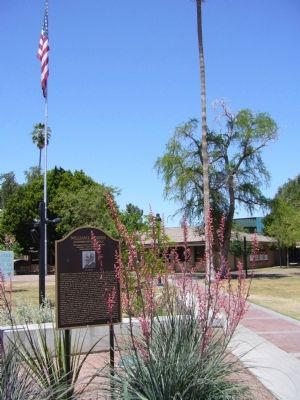
Location. 33° 32.325′ N, 112° 11.038′ W. Marker is in Glendale, Arizona, in Maricopa County. Marker is at the intersection of North 58th Avenue and West Glendale Avenue, on the right when traveling south on North 58th Avenue. Touch for map. Marker is in this post office area: Glendale AZ 85301, United States of America. Touch for directions.
Other nearby markers. At least 8 other markers are within walking distance of this marker. Robert W. Cole Building (within shouting distance of this marker); Glendale's Towering Flagstaff (within shouting distance of this marker); Hine Building (within shouting distance of this marker); Sine Building (within shouting distance of this marker); Humphrey and Davidson Building (within shouting distance of this marker); C. L. Gillett Block/Glendale State Bank Building (about 300 feet away, measured in a direct line); Coury Building (about 300 feet away); Murphy Park (about 400 feet away). Touch for a list and map of all markers in Glendale.
Credits. This page was last revised on November 2, 2019. It was originally submitted on May 7, 2010, by Bill Kirchner of Tucson, Arizona. This page has been viewed 3,362 times since then and 68 times this year. Photos: 1, 2, 3. submitted on May 7, 2010, by Bill Kirchner of Tucson, Arizona. • Syd Whittle was the editor who published this page.


