Near Richmond in Henrico County, Virginia — The American South (Mid-Atlantic)
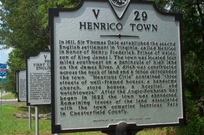
Henrico Town
Erected 1996 by Department of Historic Resources. (Marker Number V-29.)
Topics and series. This historical marker is listed in these topic lists: Colonial Era • Parks & Recreational Areas • Settlements & Settlers • Wars, US Indian. In addition, it is included in the Virginia Department of Historic Resources (DHR) series list. A significant historical year for this entry is 1611.
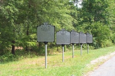
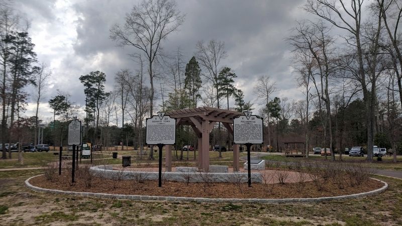
Location. 37° 26.123′ N, 77° 19.74′ W. Marker is near Richmond, Virginia, in Henrico County. Marker is at the intersection of New Market Road (Virginia Route 5) and Farmers Circle Drive, on the right when traveling west on New Market Road. Located with Action at Osborne's (V-48), Varina (V-33), Proposed First University in English America (V-30), and Pocahontas (V-28) markers. Touch for map. Marker is in this post office area: Henrico VA 23231, United States of America. Touch for directions.
Other nearby markers. At least 8 other markers are within walking distance of this marker. Pocahontas (here, next to this marker); Henrico History (here, next to this marker); Proposed First University in English America (a few steps from this marker); Varina (a few steps from this marker); Action at Osborne's (a few steps from this marker); New Market Heights (within shouting distance of this marker); William Hatcher (within shouting distance of this marker); George Thorpe (about 500 feet away, measured in a direct line). Touch for a list and map of all markers in Richmond.
Credits. This page was last revised on December 25, 2019. It was originally submitted on July 27, 2008, by Kathy Walker of Stafford, Virginia. This page has been viewed 1,688 times since then and 32 times this year. Photos: 1, 2. submitted on July 27, 2008, by Kathy Walker of Stafford, Virginia. 3. submitted on March 26, 2017, by Bernard Fisher of Richmond, Virginia. • Kevin W. was the editor who published this page.


