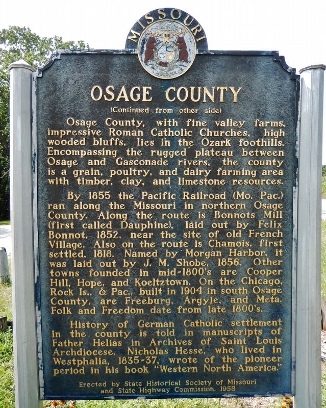
[side 1] Named for the river on its west border, Osage County was organized, 1841. A seat of justice was centrally located the next year and named Linnville, later Linn, for Lewis F. Linn, Missouri's "Model Senator." J.W. Robinson gave land . . . — — Map (db m180900) HM
World War I
John Bellman •
Irvin Clark •
Benjamin A. Czeshin •
Julius C. Dahms •
Amon Eads •
John J. Heidenreich •
Willie Miller •
John Nilges •
Arthur C. Pinet •
Frank Meyerpeter •
Thomas E. Mantle •
Frank Nilges • . . . — — Map (db m169357) WM
This is the largest "surface boulder" of Diaspore found in the Missouri Diaspore Fields lying south of the Missouri River. - It was taken from a diaspora pit near Aud, Osage County, Missouri, in 1926. - Diaspore is a high alumina clay occurring . . . — — Map (db m70497) HM
This border area between the Ozarks and Osage Plains once belonged to the Osage nation. Osage lands included southern Missouri, eastern Kansas, and northern Arkansas and Oklahoma.
The Osage maintained their stronghold for several centuries, . . . — — Map (db m272498) HM
English Side
A Frenchman, Pierre Esprit Radisson, wrote in 1659 of a nation” of extraordinary height and bigness” (the Osage) living up the Missouri River. Marquette and Joliet’s 1674 maps show the village of the Osage, and some of . . . — — Map (db m86416) HM
When we think of American wine, California comes to mind, and perhaps Oregon, Washington or New York. But Missouri? Ja, absolutely. German immigrants settling on the lower Missouri River, and later, Italians coming to the St. James area, brought . . . — — Map (db m133207) HM
Gasconade County was created by an act of Missouri legislature, November 25, 1820. Daniel Morgan Boone, son of Daniel Boone, was appointed the first commissioner of the county to locate the site for the county seat and county jail. Gasconade City . . . — — Map (db m58712) HM
The City of Union was founded in 1825. It was the second county seat of Franklin County, replacing New Port, which served the county from the time it separated from St. Louis County in 1818. In 1859, John T. Vitt constructed the brick building . . . — — Map (db m124309) HM
By 1760 the Osage of Missouri had increased their range to include present day Osage County. In 1835 the area was included in the "perpetual outlet west" guaranteed to the Cherokee Nation under the Treaty of New Echota. In 1870, under the Cherokee . . . — — Map (db m284711) HM
Thin black lines indicate changes in relevance. Between each pair of lines entries are ordered geographically but all have the same relevance.
* Inflectional forms of words are their plurals, singulars, and possessives as well as gramatical tenses and similar variations.