THE HISTORICAL
MARKER DATABASE
“Bite-Size Bits of Local, National, and Global History”


3 entries match your criteria.  


Related Historical Markers

Other memorials to Ninigret, Chief of the Niantics
 
By G.W.Bartlett, July 19, 2026
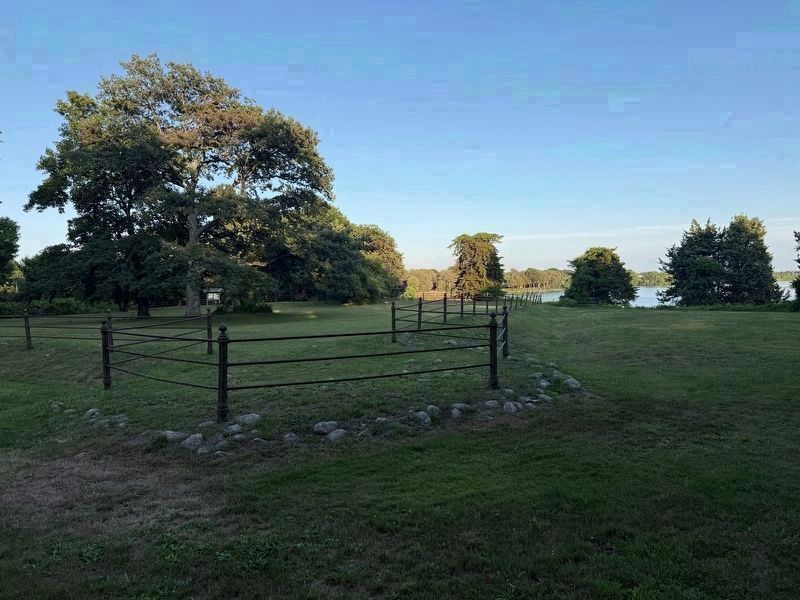
Fort Ninigret Marker (wide)
SHOWN IN SOURCE-SPECIFIED ORDER
1 ► Rhode Island, Washington County, Charlestown — Fort Ninigret —
On Fort Ninigret Road 0.2 miles south of Old Post Road (State Route 1A), on the right when traveling south.
Memorial of the Narragansett and Niantic Indians the unwavering friends and allies of our fathers — — Map (db m306526) HM WM
2 ► Rhode Island, Washington County, Charlestown — Ninigret Park History — Welcome to Ninigret Park —
Near Park Lane 0.5 miles east of Old Post Road (Rhode Island Road 1A), on the right when traveling east.
After the glacier receded, indigenous peoples lived here during the warmer months, moving inland in the winter to villages surrounded by forest. They lived in this diverse ecosystem hunting deer, bear, moose, fowl, seals, and whales; fishing and . . . — — Map (db m306170) HM
3 ► Rhode Island, Washington County, Charlestown — Ninigret National Wildlife Refuge —
On Ninigret Entrance Road 0.2 miles east of Post Road (U.S. 1), on the right when traveling east.
From the 1600s to the mid-1900s, Ninigret's lands were used for farming and sheep grazing. During World War II, the U.S. Navy converted these farm fields to the Charlestown Naval Auxiliary Landing Field, known to young pilots as . . . — — Map (db m306174) HM


CeraNet Cloud Computing sponsors the Historical Marker Database.
This website earns income from purchases you make after using our links to Amazon.com. We appreciate your support.
Paid Advertisement
Nov. 11, 2026
