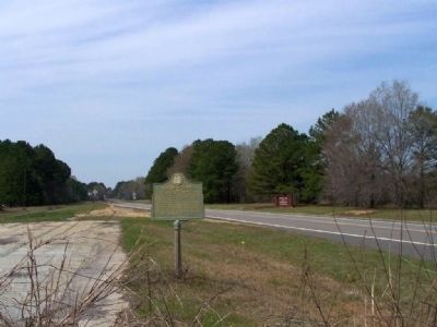
On Burtons Ferry Road (U.S. 301), on the left when traveling south.
In 1765, Robert Dunn established a ferry here. It became the gateway for settlers from the Carolinas and Virginia claiming grants in the newly opened lands of interior Georgia.
In 1772 Dunn sold to the enterprising Thomas Burton who made a . . . — — Map (db m316750) HM
On Burton Ferry Highway (U.S. 301) 1.7 miles west of Chert Quarry Road, on the left when traveling south.
(Front)
One mile west is the S.C. landing of Burton’s Ferry. The ferry was opened in 1765 by Robert Dunn on a 440-acre tract on the west (Ga.) banks of the Savannah River. In 1772, Thomas Burton acquired the tract and took up residence. He . . . — — Map (db m316723) HM
On Burton Ferry Highway (U.S. 301) 4.5 miles west of South Carolina Route 3, on the left when traveling west.
During the Revolutionary War, at the Patriot’s supply lines were stationed at Burton’s Ferry, which was also an important thoroughfare for the British from Savannah to Augusta. With Georgia firmly under British control and the Patriots initially . . . — — Map (db m316749) HM