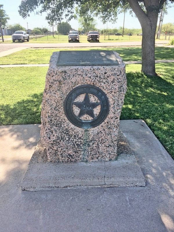
On County Road 1 east of County Road 455, on the right when traveling north.
Andrew Kent was born c. 1791 in Kentucky, to Isaac Kent; his mother's name is unknown. On April 30, 1816, he wed Elizabeth Zumwalt, a Missouri native born in April 1798. Andrew worked as a carpenter, and he and Elizabeth had 10 children. While . . . — — Map (db m293520) HM
On North Donaho Avenue at West Main Street (Farm to Market Road 1083), on the left when traveling north on North Donaho Avenue.
An excellent example of early 20th century classical revival style, the First National Bank of Jayton was erected about 1912 by descendants of early Kent County pioneers. Classical features of the edifice, such as the polished granite Ionic . . . — — Map (db m105237) HM
On Lakeview Parkway near Shoosmith Road, on the left when traveling north.
During the first 18 months of the Civil War, President Abraham Lincoln chose not to act upon recommendations of Frederick Douglass, and others, to enlist Black men in the Union Army in the fight against the Confederacy. After the much-needed Union . . . — — Map (db m314862) HM
On Farmers Drive (Virginia Route 273) 0.7 miles south of Plum Point Road ( Route 636), on the right when traveling south.
In April 1862, Union forces under Gen. George B. McClellan began a major campaign to capture Richmond, marching west from Fort Monroe up the Peninsula between the York and James rivers toward the Confederate capital. A Confederate army . . . — — Map (db m183355) HM
On Farmers Drive at Plum Point Road, on the left when traveling south on Farmers Drive.
In April 1862, Union forces under Gen. George B. McClellan began a major campaign to capture Richmond, marching west from Fort Monroe up the Peninsula between the York and James rivers towards the Confederate capital. A Confederate army . . . — — Map (db m208791) HM
On South State Street at East North Street, on the left when traveling south on South State Street.
In 1787 the Golden Fleece Tavern owned by Elizabeth Battell, stood facing Court House Square on a property that included this site and there the Constitution of the United States was ratified by the Delaware state.
"Fully, freely . . . — — Map (db m142494) HM
Thin black lines indicate changes in relevance. Between each pair of lines entries are ordered geographically but all have the same relevance.
* Inflectional forms of words are their plurals, singulars, and possessives as well as gramatical tenses and similar variations.