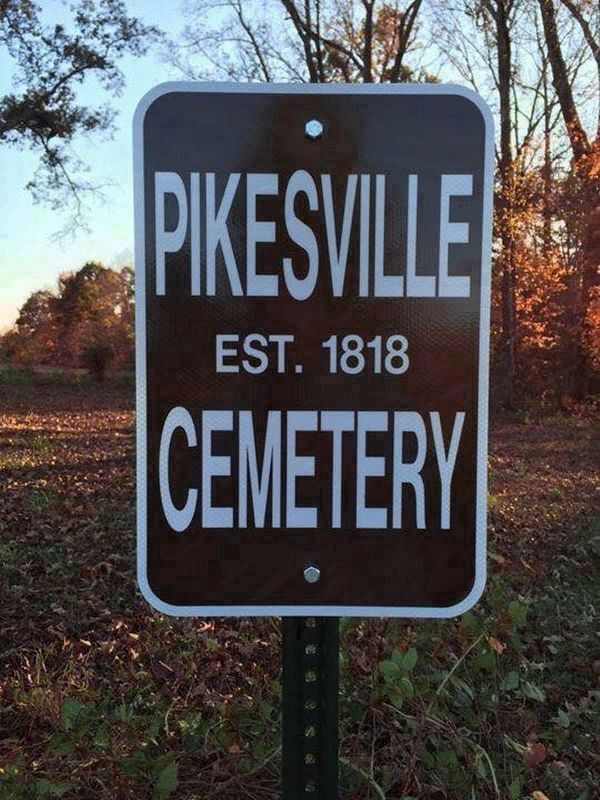
On Flippin Lamb Road (Route 249), on the right when traveling north.
The proprietary town of "Pikesville" was established here with 10 streets and public square in August, 1818, east of Pikesville Branch and north of "Old Pikeville Rd" on 75 acres of land granted to Thomas Flippin in 1798. Pikesville was narrowly . . . — — Map (db m276682) HM
On North Spalding Avenue (Kentucky Route 55) at Montgomery Court, on the left when traveling north on North Spalding Avenue.
In July 1862, during his first raid into Kentucky, John Hunt Morgan fought two skirmishes in Marion County. The first took place at the covered bridge just south of New Market. The Union Home Guard, anticipating Morgan's arrival, took the planking . . . — — Map (db m99426) HM
On East Main Street at Justice Center Drive, on the right when traveling east on East Main Street.
Christmas Raid
December 31, 1862
Robert Colvin's Warehouse
Postmaster Robert Colvin owned the tobacco warehouse, which also housed the post office, that once stood here. During the Civil War, the U.S. Government leased the . . . — — Map (db m99293) HM
On State Highway JJ 0.6 miles south of State Highway Z, on the right when traveling north.
The July 28, 1862, Battle of Moore's Mill opened about one-eighth mile south along the Moore's Mill-Galbreath Mill road, near today's State Road JJ. This area then was heavily timbered.
Lying in ambush east of the road were about 260 . . . — — Map (db m207957) HM
On Martin Luther King Avenue at Kobert Avenue, on the left when traveling east on Martin Luther King Avenue.
The home was known for years as the old Kobert place, for it was the home of the late Charles Kobert for about 50 years. Mr. Kobert was deeded the property on December 6, 1883 from L. A. Spalding. The first known history on the property is that in . . . — — Map (db m99405) HM
On West College Street (U.S. 41) at West Main Street (U.S. 41A), on the right when traveling south on West College Street.
Grundy County
Established 1844; named in honor of
Felix Grundy
of Virginia. Chief Justice of the Kentucky Supreme Court; Rep. in Congress from Tenn. 1811-1814; U.S. Senator 1829-38. Attorney Gen. in President Van Buren's Cabinet. At the time . . . — — Map (db m150469) HM
Near U.S. 56 at West 183rd Street, on the right when traveling west.
Spanning 900 miles of the Great Plains between the United States (Missouri) and Mexico (Santa Fe), this great trail of commerce between two countries was also a route for the frontier military and emigration to the West. For 60 years, the trail was . . . — — Map (db m131377) HM
Near East Main Street, on the right when traveling west.
Service Battery 623 F.A. BN.
Kentucky National Guard
Ordered Into Service
Jan. 23, 1951
Sailed for Korea Dec. 4, 1951
2nd Korean Winter
Korea – Summer / fall 1952
3rd Korean Winter
Korea – Summer 1953
Men from Washington and . . . — — Map (db m121744) WM
Thin black lines indicate changes in relevance. Between each pair of lines entries are ordered geographically but all have the same relevance.
* Inflectional forms of words are their plurals, singulars, and possessives as well as gramatical tenses and similar variations.