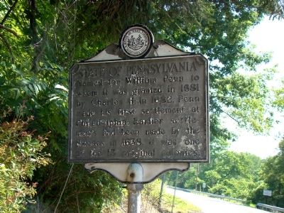
On National Road (U.S. 40) near the state line, on the right when traveling west.
Ohio County. Formed in 1776 from West Augusta. Named for the river which bears an Indian name meaning “Beautiful River.” Scene of last battle of the Revolution, 1782. Visited by La Salle, Celoron, Gist, Washington, and later explorers.
. . . — — Map (db m9384) HM
On U.S. 40 at Shadyside Drive, on the right when traveling west on U.S. 40.
Side A Fulfilling President George Washington's desire to “open wide the gates of the West,” in 1796 Congress authorized the Zane brothers of Fort Henry (at present day Wheeling) to clear a path through the dense woods of Appalachian . . . — — Map (db m13351) HM
A native of Virginia, Henry Ford (c.1845-1910) came to Texas in 1869 and worked as a cowboy on several central Texas ranches. He settled in Brownwood in 1876 and served several terms as county clerk and as a city councilman. A respected civic . . . — — Map (db m248274) HM
On Turkey Track Ranch Road (County Route 23) 15.9 miles south of Texas Highway 207, on the right when traveling south.
Here on June 27, 1874 about 700 picked warriors from the Comanche, Cheyenne and Kiowa Indian tribes were defeated by 28 brave frontiersmen:
James Hanbahan • Billy Tyler • “Bat” Masterson • Dutch Henry • Mike Welch • — Keeler • . . . — — Map (db m63864) HM
On University Drive 0.1 miles south of Van Meter Way, on the left when traveling north.
From 1932 to 1970, McColloch Hall contained West Liberty State College's library. It also housed an art department, home economics, and the first student union - The Center. Originally erected as a freestanding building, it was joined with Curtis . . . — — Map (db m196454) HM
On Nailers Way south of 14th Street, on the right when traveling south.
The first Stone & Thomas Department store was originally called the "Bee Hive." The store opened its doors in Wheeling in 1847 on Market Street and would become West Virginia's largest independent retailer. The business was started by Jacob C. . . . — — Map (db m223871) HM
Near Main Street north of 20th Street, on the left when traveling north.
The name Wheeling comes from the Delaware Indian word, Wihling, meaning “place of the skull” – Wih is the Delaware word for head and ling is their word for place. Legend has it that Native Americans were so angered by a white . . . — — Map (db m198420) HM
Thin black lines indicate changes in relevance. Between each pair of lines entries are ordered geographically but all have the same relevance.
* Inflectional forms of words are their plurals, singulars, and possessives as well as gramatical tenses and similar variations.