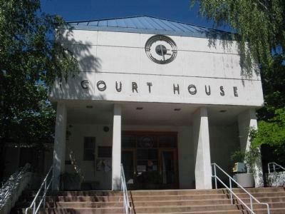
California gained statehood on September 8, 1850. It did so comprised of 27 counties with this area a part of Yuba County.
“The disadvantages of belonging to Yuba County were early felt; Marysville was too distant and a county government . . . — — Map (db m43846) HM
On Yuba Pass Road at California Route 49, on the right when traveling south on Yuba Pass Road.
In 1852 a pack trail was blazed from Sierra Valley over the summit to the placer mines of the North Yuba. Originally packers transported hay but within a few years this trade included beef, butter, barley, oats, hogs, and poultry.
On April 24, . . . — — Map (db m99627) HM
Near Pleasant Valley Road. Reported permanently removed.
Built in 1862 by David Isaac John Wood with lumber from his mill in Sierra County, this bridge was part of the Virginia Turnpike Company toll road which served the northern mines and the busy Nevada Comstock Lode. Utilizing a combination truss . . . — — Map (db m8540) HM
Sierra County Sheriff's GallowsOn November 27, 1885, 20 year-old James O’Neill was hanged from this gallows for the August 7, 1884 murder of Webber Lake dairyman John Woodward. That execution, conducted by Sheriff Samuel C. Stewart, . . . — — Map (db m57828) HM
Near Webber Lake Road near Dog Valley Road, on the left when traveling west.
Opened in 1850 by Joseph Zumwalt who brought the ritual of E Clampus Vitus to California. A significant route to Sierra County gold camps and an important team road to the Comstock Lode. — — Map (db m65992) HM
Near Feather River Highway, on the left when traveling east.
This marker is made up of four panels. They are presented left to right.
Agriculture in Sierra Valley
A few years after James Beckwourth settled on what he called the War Horse Ranch just west of here in 1852, more ranches and farms . . . — — Map (db m66179) HM
Near Pleasant Valley Road 7.5 miles north of California Route 20, on the left when traveling north.
Built in 1862 by David J. Wood with lumber from his mill in Sierra County, the covered bridge was part of the Virginia Turnpike Company toll road that served the northern mines and the Nevada Comstock Lode. The associated ranch and resources for . . . — — Map (db m78339) HM
St. Louis No. 86, Polar Star No. 90
Jefferson No. 97, Gibsonville No. 151
consolidate with
Forbestown Lodge No. 50 F.& A.M.
chartered May 3, 1854
The slab below relic of
St. Louis Lodges, St. Louis, Sierra County, California . . . — — Map (db m61684) HM
On Main Street at Second Street, on the left when traveling west on Main Street.
The earliest settlers arrived in the Loyalton area in the late 1850s, where they stopped in the lush valley on their way to the Sacramento Valley. Founded in the 1850s as Smithneck, the community had raised a great amount of money for the Union . . . — — Map (db m66035) HM
This is a one to six scale model of an
Arrastra, which was operated in Sierra City
on the Kane Flat near the present Hayes Home.
It was located in the famous Sierra Buttes
Quartz Mine near the site of the Great 40
Stamp Mill. . . . — — Map (db m66290) HM
Near South Carson Street (Business U.S. 395) at Fairview Drive, on the right when traveling south.
Logging wagon built in 1870 at Bassett Station, Yuba Pass. Used to haul lumber to the Sierra Buttes mines with teams of oxen. Presented to Nevada Day committee in 1950 by Ceasar P. Lombardi. — — Map (db m163897) HM
Thin black lines indicate changes in relevance. Between each pair of lines entries are ordered geographically but all have the same relevance.
* Inflectional forms of words are their plurals, singulars, and possessives as well as gramatical tenses and similar variations.