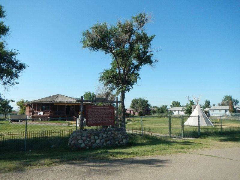
Fort Peck Indian Reservation is the home of two tribes, the Assiniboines, whose forefathers were living in this vicinity when Lewis and Clark came up the Missouri in 1805, and the Dakota (Sioux) descendants of the "hostiles" who fiercely . . . — — Map (db m142978) HM
On U.S. 2 just west of Roosevelt Avenue, on the left when traveling west.
Roll of Honor Indian Soldiers Who Died in Military Service Abbott, Sgt. Donald Ackerman, Pvt. Ray Archdale, S/Sgt. Percy J. Bauer, T/Sgt. Frederick (2) Bow, Pvt. Henry Connor, Pvt. Fred Crazy Bull, Pvt. Nathan (2) Dupree, Capt. . . . — — Map (db m203076) WM
On DeWitt Road at State Highway 13, on the right when traveling north on DeWitt Road.
Over there...
This location has long been an important river crossing. Buffalo herds used it for centuries. The Assiniboine named it "Crow Ford" because the Crow used it during their raiding campaign. Ferries operated at this location from . . . — — Map (db m142949) HM
On State Highway 13 5.4 miles north of U.S. 2, on the right when traveling north.
The second in a series of Centennial Acres was donated in 1986 by Montana's First Lady, Jean Schwinden, and her brother Julius Christianson. Located where their immigrant parents, Nels and Amanda Christianson, settled in 1913, the site is . . . — — Map (db m202997) HM
On State Highway 13 at milepost 46 at DeWitt Road, on the right when traveling north on State Highway 13.
The Wolf Point Bridge was the result of many years of lobbying by Roosevelt and McCone county citizens led by Wolf Point businessman William Young. In 1927, the Montana Highway Commission and Bureau of Public Roads approved the project. The . . . — — Map (db m142977) HM
On U.S. 2 at Blaine Street, on the right when traveling east on U.S. 2.
The Lewis and Clark Expedition passed by here, westward bound, in May, 1805. Fur trappers and traders followed them a few years later. Steamboats began making it from St. Louis up the Missouri as far as Fort Benton in the early 1860s. Wolf Point was . . . — — Map (db m142947) HM
On U.S. 2 at milepost 573 at McConnell Road, on the left when traveling east on U.S. 2.
In the summer of 1837 an American Fur Trading Company steamboat laden with trade goods made its way from St. Louis to Fort Union. Smallpox broke out among the crew, but the boat continued to its destination. Contact with the steamboat’s crew during . . . — — Map (db m142945) HM