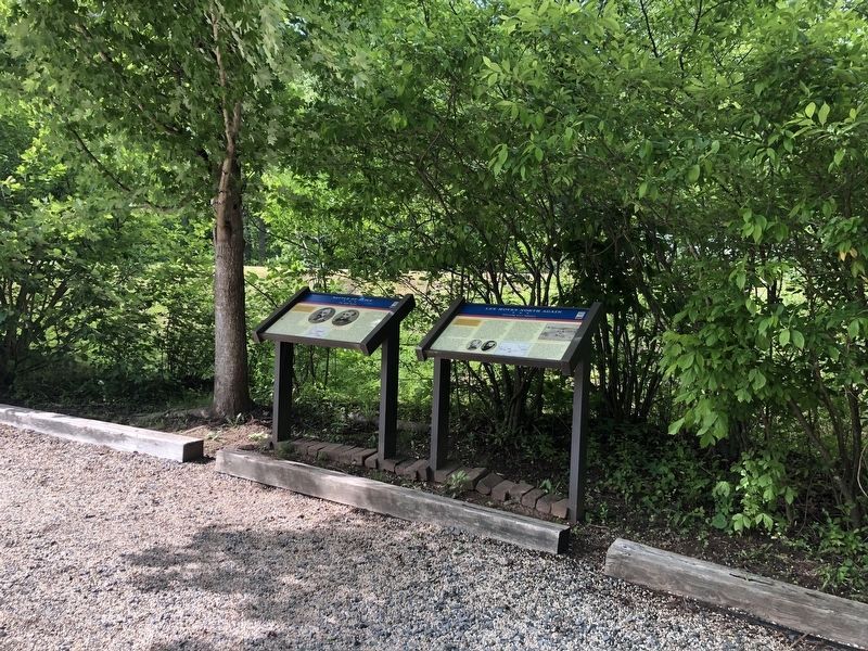
On John Mosby Highway (U.S. 50), on the right when traveling east.
After Confederate Gen. Robert E. Lee's stunning victory at Chancellorsville in May 1863, he led the Army of Northern Virginia west to the Shenandoah Valley, then north through central Maryland and across the Mason-Dixon Line into . . . — — Map (db m3742) HM
On John Mosby Highway (U.S. 50), on the right when traveling east.
After Confederate Gen. Robert E. Lee's stunning victory at Chancellorsville in May 1863, he led the Army of Northern Virginia west to the Shenandoah Valley, then north through central Maryland and across the Mason-Dixon Line into . . . — — Map (db m3750) HM
On Snickersville Turnpike (Virginia Route 734), on the right when traveling north.
(East Side of Marker)
Facing the Confederate Position
On the afternoon of June 17, 1863, cavalry from the Army of the Potomac under General Alfred Pleasonton and the Army of Northern Virginia under General JEB Stuart battled each . . . — — Map (db m182593) HM
On John Mosby Highway (U.S. 50) near Champe Ford Road (Route 632), on the right when traveling east.
In June 1863, as Gen. Robert E. Lee led the Army of Northern Virginia through Blue Ridge gaps to the Shenandoah Valley, Maj. Gen. J.E.B. Stuart’s cavalry screened the army from Federal observation. The Union cavalry chief, Brig. Gen. Alfred . . . — — Map (db m1416) HM
On John Mosby Highway (U.S. 50) at Champe Ford Road (County Route 632), on the right when traveling east on John Mosby Highway.
In June 1863, Gen. Robert E. Lee led the Army of Northern Virginia through gaps in the nearby Blue Ridge Mountains and into the Shenandoah Valley to invade the North. Maj. Gen. J.E.B. Stuart’s cavalry corps screened the army from Federal . . . — — Map (db m1454) HM
On North Madison Street at West Marshall Street, on the right when traveling north on North Madison Street.
During the Gettysburg Campaign in June 1863, Middleburg was the scene of major cavalry operations. On June 17, 1863, Gen. J.E.B. Stuart’s small force, charged with screening Gen. Robert E. Lee’s infantry moving north and west of the Blue Ridge . . . — — Map (db m167752) HM
On John S. Mosby Highway (U.S. 50), on the right when traveling east.
Here, on 19 June 1863, Maj. Gen. J.E.B. Stuart’s cavalry fought Brig. Gen. David M. Gregg’s Union cavalry division. Screening the march of Gen. Robert E. Lee’s Army of Northern Virginia through the Shenandoah Valley to invade Pennsylvania, Stuart . . . — — Map (db m1471) HM
On Atoka Road at John S. Mosby Highway (U.S. 50), on the right when traveling north on Atoka Road.
(Preface): After Confederate Gen. Robert E. Lee's stunning victory at Chancellorsville in May 1863, he led the Army of Northern Virginia west to the Shenandoah Valley, then north through central Maryland and across the Mason-Dixon Line into . . . — — Map (db m171931) HM
On Atoka Road at John S. Mosby Highway (U.S. 50), on the right when traveling north on Atoka Road. Reported permanently removed.
Here at Rector's Crossroads on June 10, 1863 Major John S. Mosby officially established Company A, 43rd Battalion Virginia Cavalry, known as Mosby's Rangers. It was here on June 23, 1863 that General J.E.B. Stuart set up headquarters and received . . . — — Map (db m2786) HM
On Lemmons Bottom Road north of John S. Bosby Highway (U.S. 50), on the right when traveling north. Reported permanently removed.
Leapfrogging westward in a delaying action against advancing Union cavalry June 21, 1863, the rear guard of Confederate Gen. J.E.B. Stuart, commanded by Gen. Wade Hampton, took up a strong position on the steep ridge just behind you. From there two . . . — — Map (db m1549) HM
On John S. Mosby Highway (U.S. 50) west of Dunvegan Drive, on the right when traveling east. Reported permanently removed.
This site, known during the war as Vineyard Hill, commands a clear view of the road, stone walls, and fields in front of you where 10,000 cavalry and infantry clashed in the Battle of Upperville on June 21, 1863. It was the fifth day of attack . . . — — Map (db m1550) HM
On John Mosby Highway (U.S. 50) at Hill Road / Trappe Road (County Route 619), on the right when traveling east on John Mosby Highway.
After Confederate Gen. Robert E. Lee's stunning victory at Chancellorsville in May 1863, he led the Army of Northern Virginia west to the Shenandoah Valley, then north through central Maryland and across the Mason-Dixon Line into . . . — — Map (db m3754) HM
On John Mosby Highway (U.S. 50) at Hill Road / Trappe Road (County Route 619), on the right when traveling east on John Mosby Highway.
After Confederate Gen. Robert E. Lee's stunning victory at Chancellorsville in May 1863, he led the Army of Northern Virginia west to the Shenandoah Valley, then north through central Maryland and across the Mason-Dixon Line into . . . — — Map (db m3753) HM