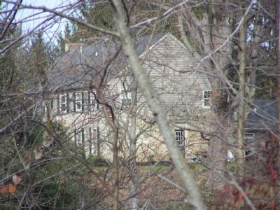
On Blue Ball Road 2 miles north of Maryland Route 279, on the right when traveling north.
Boyhood home of William Whann Mackall. Appointed to the U. S. Military Academy in 1834. Resigned from the U. S. Army, joined the Confederacy and served on the staffs of Generals Albert Sydney Johnston, Braxton Bragg and Joseph E. Johnston. General . . . — — Map (db m145439) HM
On New Markham Road at Tennessee Route 22, on the right when traveling west on New Markham Road.
Capture of Island No. 10
An incident in the systematic process of opening the great rivers which served the heart of the Confederacy to Federal control, this was performed by Pope's Army of the Mississippi, assisted by a naval task force . . . — — Map (db m304170) HM
On Church Street (Tennessee Route 21) at South Court Street, on the right when traveling east on Church Street.
Covered by Federal gunboats, Maj. Gen. John Pope landed part of his army of 25,000 on the west shore of Madrid Bend, outflanking Confederate defenses, causing abandonment of the island. Brig. Gen. W.W. Mackall, retreating south, finding himself cut . . . — — Map (db m18262) HM
On Levee Road at Main Street, on the right when traveling east on Levee Road.
At this location, and at other locations up and down stream, the Siege of New Madrid and the Island No. Ten campaigns took place during the months of March and April of 1862. Union victories here ensured Federal control of the middle Mississippi . . . — — Map (db m12342) HM
On Georgetown Pike (Virginia Route 193) at Chain Bridge Road (County Route 3563), on the right when traveling west on Georgetown Pike.
Two 18th-century roads intersect just west of here: Sugarlands Rolling Road (now Georgetown Pike) and Little Falls Road (now Chain Bridge Road). Several historic structures stand near the fork: Langley Toll House (ca. 1820); Langley Ordinary (ca. . . . — — Map (db m2328) HM
Near Great Falls Street at Chain Bridge Road, on the right when traveling north.
Graduate U.S. Military Academy, West Point, 1837, 8th in Class Resigned Commission to serve with Confederate Army May 1861-April 1865 Adjutant General to General Albert S. Johnston Commanded at Island No. 10, taken prisoner, later exchanged . . . — — Map (db m20398) HM