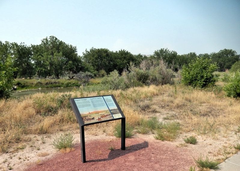
Near Five Rocks Road (Avenue I) 0.4 miles south of South Beltline Highway West (State Highway 79H Spur).
[English] Rapid Changes After two decades of trail use, changes arrived in the 1860s. The Pony Express with its riders delivered mail to and from California. They rode through local stations near Chimney Rock and . . . — — Map (db m311088) HM
On Nebraska Route 92 at Hunt Dairy Road, on the right when traveling east on Nebraska Route 92.
In 1909 Nebraska State Surveyor Robert Harvey surveyed the Fort Mitchell site documenting the location of the fort for the Nebraska State Historical Society. Mr. Harvey’s site sketch is partially shown to the right.
The granite Oregon Trail . . . — — Map (db m79436) HM
On State Highway 92 at Hunt Dairy Road, on the right when traveling east on State Highway 92.
Mitchell Pass and the city of Mitchell, Nebraska, derive their names from a military post built near here during the Indian Wars. No trace of the sod structure remains at the site on the North Platte River bend northwest of Scott’s Bluff. It was . . . — — Map (db m79426) HM