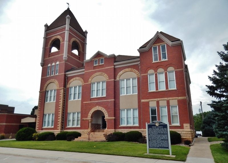
On South Broadway Avenue north of East Franklin Street (State Highway 84), on the right when traveling north.
Much of the early history of Cedar County involves the Indian inhabitants, the Ponca, Omaha, and Sioux. Several prehistoric and historic Indian villages were located in the region. In 1804, Lewis and Clark ascended the Missouri River near here . . . — — Map (db m181311) HM
On West Franklin Street (State Highway 84) east of South Robinson Avenue, on the left when traveling east.
This marker, dedicated on the 100th anniversary of Hartington High School, June 25, 1988, is in honor of two graduates who became governors of Nebraska. Dwight Burney, born in 1892, graduated from Hartington High School in 1910. Burney attended . . . — — Map (db m181317) HM
On Main Street just east of West 3rd Street, on the right when traveling east.
While lost and searching for missing horses, George Shannon had missed many adventures and some wonderful food — as soon as the men found Shannon, they were eager to share their stories. During those sixteen days, the men were feasting on fish and . . . — — Map (db m313300) HM
The Omaha and Ponca
The Omaha and Ponca tribes were once a single people closely related to the Osage, Kansa and Quapaw tribes of the lower Missouri and Mississippi River valleys. The ancestoral Omaha-Ponca people migrated from that region . . . — — Map (db m234981) HM
On West Mount Vernon Road (County Road E48) 0.1 miles south of Irish Lane, on the left when traveling south.
At first, the Lincoln Highway through Iowa consisted mainly of dirt roads, which were fine when dry but impassable when wet. Motorists were advised against trying to cross Iowa in rainy weather.
The goal of the Lincoln Highway Association (LHA) . . . — — Map (db m158227) HM
Thin black lines indicate changes in relevance. Between each pair of lines entries are ordered geographically but all have the same relevance.
* Inflectional forms of words are their plurals, singulars, and possessives as well as gramatical tenses and similar variations.