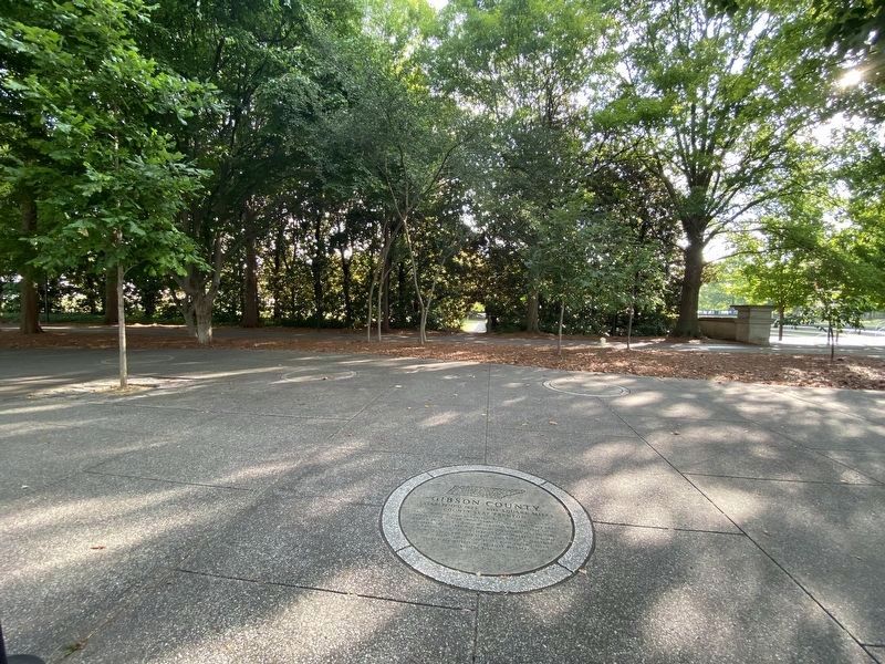
Near 6th Avenue North north of Harrison Street, on the left when traveling north.
Agriculturally diverse and level, Gibson County was named for Colonel John Gibson who fought in the Creek Wars under Andrew Jackson. Especially strong crops have included cotton, soybeans, and strawberries. Gibson County was the last home in . . . — — Map (db m199691) HM
On Musket Lane, on the right when traveling south.
In his nearly half century of life, David Crockett literally migrated from east to west Tennessee. From his birthplace near Limestone, to his last home in Rutherford (Gibson County), the Crockett story weaves its way across the Volunteer state for . . . — — Map (db m58461) HM
On Musket Lane, on the right when traveling south.
• Raised in frontier poverty without any education until he is a teenager, David is often hired out to others for additional income while still a child; once held against his will until he escapes under the cover of a winter storm. • To avoid . . . — — Map (db m58421) HM
On West Court Street at South Main Avenue, on the right when traveling east on West Court Street.
At least fifteen Confederate companies were formed in Dyer County, including Capt. Otho F. Strahl’s Co. K, 4th Tennessee Infantry, and Capt. Tyree H. Bell’s Co. B, 12th Tennessee Infantry. Both men rose to the rank of brigadier general. Strahl was . . . — — Map (db m74634) HM
On Eaton Street (Tennessee Route 104, 77) at College Street (U.S. 45), on the left when traveling east on Eaton Street.
(Preface): Gen. Nathan Bedford Forrest led his cavalry brigade on a raid through West Tennessee, Dec. 15, 1862 - Jan. 3, 1863, destroying railroads an severing Gen. Ulysses S. Grant's supply line between Columbus, Kentucky and Vicksburg, . . . — — Map (db m81556) HM
“Be always sure you are right, then go ahead!”
• Raised in frontier poverty without any education until he is a teenager, David is often hired out to others for additional income while still a child; once held against his will until . . . — — Map (db m108201) HM
On West Main Street (Tennessee Route 54) west of North Wilson Street, on the right when traveling west.
Weakley County's residents voted to stay with the Union in June 1861 while most of West Tennessee supported the Confederacy. Local farmer and slave owner John Drewry spoke passionately against secession here at the courthouse. On June 8, he . . . — — Map (db m274280) HM
On U.S. 45W at Old Dyersburg Road, on the right when traveling south on U.S. 45W.
Located 1.4 miles west of this site, Camp Trenton was a Confederate Army training camp in Gibson County. Colonel M. R. Hill's 47th Tennessee Infantry departed from Camp Trenton by train on Sunday, April 6, 1862, and arrived at the Battle of Shiloh . . . — — Map (db m58777) HM
On Morningside Drive at Ridgelawn Avenue, on the right when traveling east on Morningside Drive.
In the 49 years that David Crockett called Tennessee his home he migrated from one end of the Volunteer state to the other. From his birthplace near Limestone on the banks of the Nolichucky River to his last home in present day Rutherford (Gibson . . . — — Map (db m152045) HM
In the 49 years that David Crockett called Tennessee his home he migrated from one end of the Volunteer state to the other. From his birthplace near Limestone on the banks of the Nolichucky River to his last home in present day Rutherford (Gibson . . . — — Map (db m107422) HM
On East Shoemaker Street at South Hill Street, on the left when traveling east on East Shoemaker Street.
Born in Gibson County, Tennessee, S. W. Tilghman (1846-1913) came in 1870 by wagon train to Wise County. In 1872 he married a Decatur native, Eliza Bland Miller (1856-1931), and became father of a daughter and three sons. A master builder, he . . . — — Map (db m184085) HM
Near West Elk Avenue (U.S. 321) west of Franklin Springs Circle, on the right when traveling west.
"Be always sure you are right, then go
ahead!" David Crockett
In the 49 years that David Crockett called Tennessee his home he migrated from one end of the Volunteer state to the other. From his birthplace near Limestone on the . . . — — Map (db m268085) HM
In the summer of 1817, just before his 31st birthday, David Crockett entered Lawrence County with his second wife Elizabeth (his first wife, Polly, died in 1815), her two children from her first husband (James Patton, died in the Creek Indian War in . . . — — Map (db m107420) HM
On Atwood Highway (U.S. 79) at Cades Atwood Road, on the right when traveling south on Atwood Highway.
Carroll County
Established 1822: Named in honor of
William Carroll
An officer in the War of 1812;
governor of Tennessee, 1821-27
and 1829-35; Served as governor
longer than any other man.
Gibson County
Established . . . — — Map (db m52132) HM
On South 19th Avenue at Burrow Street, on the left when traveling south on South 19th Avenue.
This property
has been placed on the
National Register
of Historic Places
by the United States
Department of the Interior
Bonds House
1923 — — Map (db m194177) HM
Thin black lines indicate changes in relevance. Between each pair of lines entries are ordered geographically but all have the same relevance.
* Inflectional forms of words are their plurals, singulars, and possessives as well as gramatical tenses and similar variations.