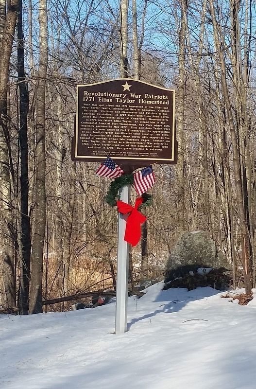
On Prescott Road 0.1 miles south of Old Belgrade Road (SR 135), on the right when traveling north.
Near this spot stood the 1771 homestead of the Elias and Mary Taylor family, pioneer settlers of Kennebec, Cushnoc, Hallowell, Winthrop and Manchester and Patriots of the American Revolution. In 1775 their eldest son John Taylor joined the . . . — — Map (db m123670) HM
Near State Park Road 1 mile east of Cape Jellison Road.
In 1759, Massachusetts Governor Thomas Pownall sought to plug the mouths of Maine's key rivers so as to keep the French and Indians well inland. In January 1758, he wrote to William Pitt, Prime Minister of England about the advantages of this site, . . . — — Map (db m170846) HM
On High Street at Main Street, on the right when traveling north on High Street.
In 1792, Silas Lee, Harvard-educated lawyer, U.S. Congressman and Chief Justice of the Court of Common Pleas for Lincoln County, built one of the finest examples of Georgian style architecture in Maine. Ionic columns support a semi-circular . . . — — Map (db m258986) HM
On Warren Street at Summer Street, on the right when traveling west on Warren Street.
Early Wiscasset education consisted of free district schools, with tutors teaching reading, writing, arithmetic and the Bible. Supplies and classroom space were donated. In 1807, a group of town leaders built this private academy to provide higher . . . — — Map (db m258930) HM
On Main Street (U.S. 1) near Knox Street, on the right when traveling west.
1605
Capt. Geo. Waymouth explores and names the St. Georges River
1630
To trade with Indians native to area post built near Wadsworth St. Bridge
1692
St. Georges River is boundary between the French and English territories . . . — — Map (db m55475) HM
Near Cedar Grove Road 0.8 miles north of Ludwig Road, on the left when traveling north.
Pownalborough Court House
1761
Lincoln County's first courthouse, built by Gershom Flagg of Boston for the proprietors of the Kennebec Purchase. A company formed in 1749 to settle lands along the Kennebec River. Courts were held here until 1794 . . . — — Map (db m288294) HM
Near Main Street (U.S. 1) east of Water Street, on the right when traveling west.
( left panel ) For about a century and a half the upper Damariscotta River enjoyed an exciting period of its history in the construction of wooden sailing vessels. Nearby forests provided ideal timber resources, such as ash, pine, spruce . . . — — Map (db m205102) HM
Thin black lines indicate changes in relevance. Between each pair of lines entries are ordered geographically but all have the same relevance.
* Inflectional forms of words are their plurals, singulars, and possessives as well as gramatical tenses and similar variations.