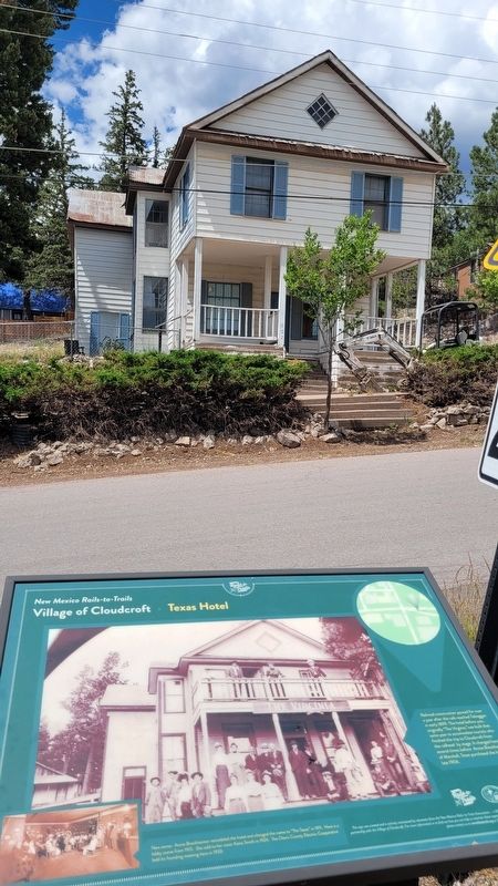
On Burro Avenue at Swallow Place, on the right when traveling east on Burro Avenue.
Railroad construction paused for over a year after the rails reached Toboggan in early 1899. The hotel before you, originally "The Virginia," was built that same year to accomodate tourists who finished the trip to Cloudcroft from the railhead by . . . — — Map (db m251370) HM
The series of hills immediately to the northeast are the Godfrey Hills. The mountains beyond are part of the Lincoln National Forests White Mountain Wilderness. It provides opportunities for camping, hiking, and backpacking in cool pinyon, juniper, . . . — — Map (db m251042) HM
On Cox Canyon Highway south of James Canyon Highway, on the right when traveling south.
The railroad built this power plant during the summer of 1899 to provide power for the Pavilion and Lodge. Lines were extended to the business district of Cloudcroft, residences and later east to new electric water pumps near the present ski area. . . . — — Map (db m253873) HM
On James Canyon Highway (U.S. 82) west of Lynx Avenue, on the left when traveling east.
Spanning the Mexican Canyon of the Sacramento Mountains, this is the largest remaining trestle of 58 constructed for Charles B. Eddy's Alamogordo and Sacramento Railway. Climbing 4,747 feet in 32.5 miles, the spur accessed timber for Eddy's El Paso . . . — — Map (db m251248) HM
On North White Sands Boulevard at E 10th Street, on the right when traveling south on North White Sands Boulevard.
Center Wall
Airborne
The names listed below are those of men who earned the U.S. Army Airborne Wings. They volunteered out of a neighborhood that measures approximately one quarter of a square mile in area. This is believed to be . . . — — Map (db m263677) WM
Thin black lines indicate changes in relevance. Between each pair of lines entries are ordered geographically but all have the same relevance.
* Inflectional forms of words are their plurals, singulars, and possessives as well as gramatical tenses and similar variations.