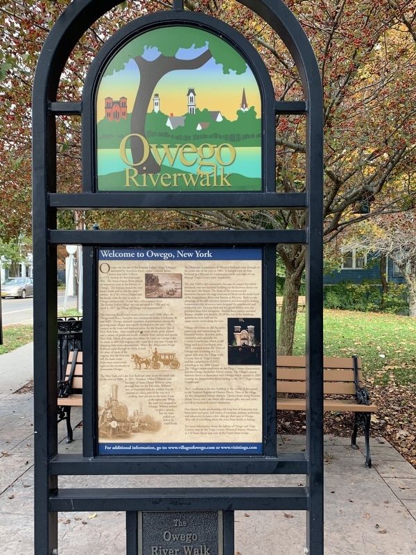
On Front Street (New York State Route 17C) at Church Street, on the left when traveling west on Front Street.
Owego was the site of the Iroquois Indian village "Owagea" destroyed by American forces under Generals James Clinton and John Sullivan in 1779, during the Revolutionary War. The Susquehanna River played an important part in the history of Owego. The . . . — — Map (db m141832) HM
On South Main Street (New York State Route 38), on the right when traveling south.
Hope Cemetery & Mausoleum
1820 1928
Have Been Placed On The
National Register
Of Historic Places
By The United States
Department Of The Interior — — Map (db m297151) HM
On Front Street (New York State Route 17C) at Church Street, on the left when traveling west on Front Street.
Welcome to Owego and the Susquehanna River. The Susquehanna is a long name for a long river. From
its start at Otsego Lake, near Cooperstown, New York, it meanders 444 miles from New York through Pennsylvania, arriving at Havre de Grace, Maryland, . . . — — Map (db m141831) HM
Near Railroad Street at Humes Street, on the left when traveling west.
“I remember well the day independence was declared on the plains of Pine Creek...” —Anna Jackson Hamilton, 1858, recalling, at age 90, the gathering under the Tiadaghton Elm on July 4, 1776. In the mid-1700s, much of Pennsylvania was still . . . — — Map (db m304578) HM
On Front Street near Court Street ( Route 96), on the left when traveling west.
One of the most sought after fish in the early 1800’s was the shad. The river had plenty of them. They swam up from the Chesapeake Bay all the way to Owego and beyond. As the river changed, and dams were put in and removed, and river craft and . . . — — Map (db m141837) HM