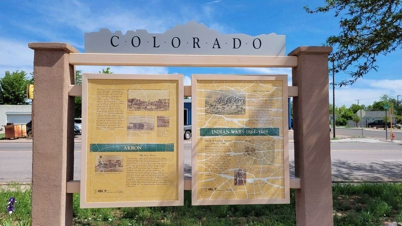
On West 1st Street at Custer Avenue, on the left when traveling west on West 1st Street.
Here - seemingly far from everywhere - the Lincoln Land Company, a division of the Chicago, Burlington, and Quincy Railroad, thought this place a likely site for a new town. It was, after all, the highest point between Chicago and Denver, and . . . — — Map (db m199981) HM
On South 4th Street at Main Street, on the right when traveling north on South 4th Street.
In Loving Memory of Orville S. Johnson (1911-1987) and H. Catherine Johnson (1914–2003) Orville and Catherine Johnson were lifetime residents of Northeast Colorado. Orville graduated from Sterling High School in 1930) and Catherine from Padroni . . . — — Map (db m289034) HM
Near Locust Street at Main Street (Business U.S. 82).
During the 4 years, 4 months after secession, Texas sent 18 lawmakers to the Confederate capitols. Her delegates to the Provisional Congress, Feb. 1861 to Feb. 1862, were John R. Gregg, Freestone County; John Hemphill, Travis County; Wm. B. . . . — — Map (db m96899) HM
On Braxton Street just east of Lum Road (Farm to Market Road 2919), on the right when traveling west.
Kendleton was originally a large plantation area of land in the western section of Fort Bend County. During the Reconstruction Era, free Negroes from Colorado and Washington Counties developed a colony of 100-acre plots. Having relocated several . . . — — Map (db m14126) HM
On West Buck Street south of South Main Street (Loop State Highway 83), on the right when traveling west.
In rich Brazos River basin; had settlers early as 1825. Site in 1830 of Tenoxtitlan, one of 3 forts built by Mexico in Texas, situated above El Camino Real (The King's Highway) crossing on Brazos River. North of the road was Sterling Robertson's . . . — — Map (db m201845) HM
Near Landa Park Drive at Monument Drive, on the right when traveling north.
Panel 1
The first German settlements in Texas were Industry in Austin County, founded by Friedrich Ernst in 1831, Biegel in Fayette County, founded by Joseph Biegel in 1832, Cat Spring in Austin County, founded by the von Roeder, Kleberg, . . . — — Map (db m210312) HM
On Market Street at South Elm Street, on the right when traveling east on Market Street.
Harris County was 1861 center for 492 miles of state railroads, with Texas & New Orleans going from here to Orange; Houston & Texas Central to Millican; Houston Tap & Brazoria to Columbia; Buffalo Bayou, Brazos & Colorado to Alleyton; and . . . — — Map (db m170799) HM
On Farm to Market Road 1161 0.4 miles east of Farm to Market Road 102, on the right when traveling east.
William Jones Elliott Heard was born in Tennessee in 1801, the first of Stephen R. and Jemima M. Heard's nine children. Sometime in the 1820s Heard moved to Alabama where he married America Morton.
Heard received a land certificate from . . . — — Map (db m191904) HM
On North Main Street (Business U.S. 65) at West Rush Avenue, on the right when traveling south on North Main Street.
Modern historical research has yielded information which was not readily available to those who designed the 1955 monument. Here is presented updated information and a modified more accurate map of the emigrants' route. Dedicated . . . — — Map (db m225248) HM
Near Lt Billy Webb Avenue 0.1 miles north of Cook Street. Reported unreadable.
In the years preceding the war with Mexico, the United States and Mexico were two nations headed in opposite directions.
The United States, inspired by the concept of “Manifest Destiny,” confidently expanded its territories westward. Meanwhile, . . . — — Map (db m231522) HM
A native of Scotland, Alexander Beaton came to the United States in 1843. He migrated to Texas in 1848 after serving in the U.S. Army during the Mexican War. In 1850 he settled in Corsicana and began the practice of law. He was chairman of the . . . — — Map (db m60493) HM
Thin black lines indicate changes in relevance. Between each pair of lines entries are ordered geographically but all have the same relevance.
* Inflectional forms of words are their plurals, singulars, and possessives as well as gramatical tenses and similar variations.