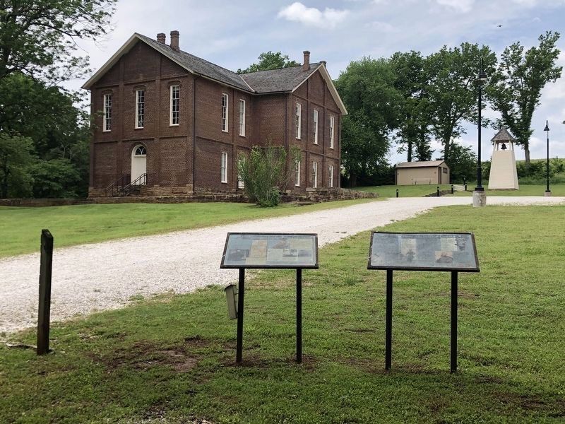
On College Road near McClellan Road, on the left when traveling north. Reported permanently removed.
As James Blunt's First Division of the Army of the Frontier massed in front of the Confederate artillery at the Cane Hill Cemetery, General John Marmaduke ordered J.O. Shelby's Rebels to (unreadable) through the hamlet of Boonsboro. As the . . . — — Map (db m261490) HM
On Loop State Highway 540 at South 4th Street, on the left when traveling west on State Highway 540.
Founded 1894 by Cecil A. Beasley (1862 - 1908), on the Texas & New Orleans Railroad. First called "Dyer" for Isabel Dyer (1871 - 1933), whom Beasley later married. Post office opened as "Beasley," May 13, 1898. The town boomed in 1910, as Stern & . . . — — Map (db m168553) HM
On East 9th Street at Cloud Street, on the right when traveling east on East 9th Street.
Hayes Rutherford Devore Born 1902Hayes was the second son of Zachary and Mary Devore, born in Elmira, New York. In January 1911, Hayes' relatives were unable to care for him and he was taken by the authorities to the Southern Tier . . . — — Map (db m212848) HM
Hollenberg Station and Transportation
By the time Hollenberg Station was begun in 1857 or 1858, Gerat Hollenberg
already had years of experience in operating at road ranch on the Oregon-California Trail. A native of Germany, he had been drawn . . . — — Map (db m253085) HM
On Lincoln Highway (U.S. 30) at County Road 15, on the left when traveling west on Lincoln Highway.
Brothers George and Chester Marshall founded Marshall Brothers in 1887. Incorporated as Marshall Nurseries in 1916, the tree nursery survived for more than a century, bringing prosperity to Arlington and influencing horticulture throughout the . . . — — Map (db m287995) HM
On Putnam Street at Foster Lane, on the right when traveling east on Putnam Street.
The Fight for Freedom
The home of John and Susan Eells once stood at this location, 508 Putnam Street, in Marietta. The family moved into the house in 1856 bringing with them a strong hostility to the institution of slavery. Marietta's . . . — — Map (db m301939) HM
On 2nd Road (Kansas Route 232) 0.2 miles north of Interstate 70, on the right when traveling north.
Post Rock Country is in the heart of the Smoky Hills, named for the early-morning fog that forms in its valleys. The region is defined by rock outcroppings, formed more than 66 million years ago during the Cretaceous Age when the ancient inland . . . — — Map (db m252019) HM
On North Main Street (Business U.S. 65) at West Rush Avenue, on the right when traveling south on North Main Street.
Modern historical research has yielded information which was not readily available to those who designed the 1955 monument. Here is presented updated information and a modified more accurate map of the emigrants' route. Dedicated . . . — — Map (db m225248) HM
"It turned out that a traveling carnival had set up there several years earlier and then didn't make enough money to pay the rent for the pasture. So they just left their 24-horse Carousel there. We got those hobby horses for a very reasonable . . . — — Map (db m177280) HM
On 4th Street at Dewey Avenue, on the right when traveling west on 4th Street.
Independent…Adventurous…Enterprising… Bold, these are the words that have been used to describe those who were here first.
This mural, entitled "Building the City of Legends," represents several firsts - including many of the key people . . . — — Map (db m73104) HM
Thin black lines indicate changes in relevance. Between each pair of lines entries are ordered geographically but all have the same relevance.
* Inflectional forms of words are their plurals, singulars, and possessives as well as gramatical tenses and similar variations.