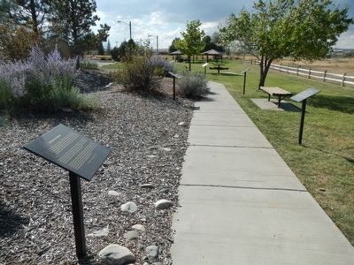
Near Fort Caspar Road 0.1 miles west of Wyoming Route 258, on the right when traveling west.
On April 9, 1889, application was made to have the town of Casper incorporated. John Merritt made the application in Rawlins, Wyoming since Casper was in Carbon County at that time. On July 8, 1889, Casper was incorporated and George Mitchell was . . . — — Map (db m164529) HM
Near W. Davis Street at Bennett Street, on the right when traveling south.
In the summer of 1867, a survey party led by General Grenville M. Dodge seeking a route for the Union Pacific Railroad stopped here.
General John A. Rawlins, a member of the party, spoke of the spring as "the most gracious and acceptable of . . . — — Map (db m67982) HM
On 5th Street near West Buffalo Avenue, on the right when traveling west.
In the summer of 1867, a survey partly led by General Grenville M. Dodge seeking a route for the Union Pacific Railroad, stopped one half mile south west of here.
General John A. Rawlins, a member of the party, spoke of the spring there as the . . . — — Map (db m89705) HM
Near State Highway 387 at Ranch Drive, on the right when traveling west.
"The lack of rail service in large areas of Wyoming did not prevent small coal mines from being opened. Throughout much of rural Wyoming wood was not readily available, and it was too valuable to be used as fuel on the plains and basins. Coal . . . — — Map (db m242967) HM
On County Route 347 near Interstate 80, on the right.
At age 18, Fenimore Chatterton arrived in Wyoming on September 12, 1878 to begin a lifelong career of service to Wyoming.
The young Fenimore came west on the Union Pacific to Fort Steele for a bookkeeping job at the J.W, Hugus Trading Post. . . . — — Map (db m89995) HM
On West Walnut Street at 10th Street, on the right when traveling east on West Walnut Street.
April 21, 1836, General Sam Houston and the Texian Army defeated Mexican President, General Antonio Lopez de Santa Anna. On May 14, 1836 the defeated Santa Anna signed the Treaty of Velasco, establishing The Republic of Texas, an independent . . . — — Map (db m283695) HM
Near Old Highway 0.1 miles east of County Road 347, on the left when traveling east.
You are in Carbon County, an area central to Wyoming's past and present ranching industry. In the 1930s the county was populated by over one million sheep and annually shipped more pounds of wool than any other county in the United States.
. . . — — Map (db m67987) HM
Thin black lines indicate changes in relevance. Between each pair of lines entries are ordered geographically but all have the same relevance.
* Inflectional forms of words are their plurals, singulars, and possessives as well as gramatical tenses and similar variations.