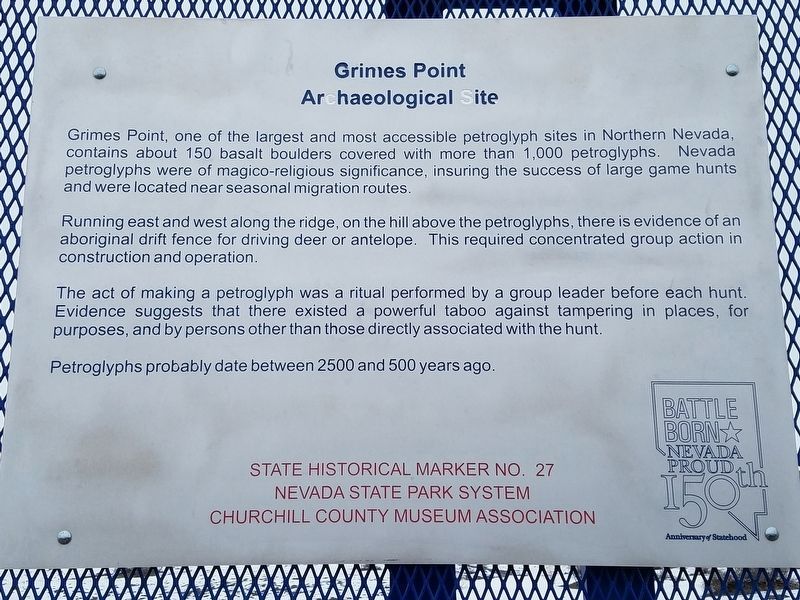
On U.S. 50 at milepost 30.7, on the right when traveling west.
Grimes Point, one of the largest and most accessible petroglyph sites in northern Nevada, contains about 150 basalt boulders covered with petroglyphs. Nevada petroglyphs were of magico-religious significance in insuring the success of large game . . . — — Map (db m127115) HM
On Reno Highway (U.S. 50) near Pioneer Way, on the right when traveling east.
Ragtown was never a town, but the name of a most welcome oasis and hamlet. This mecca on the banks of nearby Carson River received its name from the appearance of pioneer laundry spread on every handy bush around.
The Forty-Mile Desert, . . . — — Map (db m180202) HM
Near U.S. 95 at Interstate 80, on the right when traveling south.
Stretching before you are two vast sinks, terminal areas of the Humboldt and Carson River drainage systems. The marshey remnant of Lake Lahontan, between you and the distant Humboldt Range, served as a life sustaining resource of wildlife for . . . — — Map (db m263929) HM
Near U.S. 95 at Interstate 80, on the right when traveling south.
The 40 Mile Desert, beginning here, is a barren stretch of waterless alkali wasteland. It was the most dreaded section of the California Emigrant Trail. If possible, it was traveled by night because of the great heat.
The route was first . . . — — Map (db m67348) HM
Nevada lies within the Great Basin where rivers drain into lakebeds and sinks, never reaching an ocean. The broad valley around this location contains two of these terminal lake basins or "sinks" one
for the Humboldt River arising in northeastern . . . — — Map (db m263928) HM
Lahontan Dam, completed in 1915, is the key feature of the Newlands Irrigation Project which has turned Lahontan Valley into one of Nevada's most productive farming and ranching areas. With completion of the dam's powerhouse, the electrical energy . . . — — Map (db m89515) HM
On West Williams Avenue at Lincoln Highway (U.S. 50), on the right when traveling west on West Williams Avenue.
Churchill County was created by the Territorial Legislature in 1861 but attached to Lyon County for judicial and revenue purposes. Churchill County was organized in 1864 and La Plata served as county seat. In 1868, it was moved to Stillwater, . . . — — Map (db m69686) HM
Thin black lines indicate changes in relevance. Between each pair of lines entries are ordered geographically but all have the same relevance.
* Inflectional forms of words are their plurals, singulars, and possessives as well as gramatical tenses and similar variations.