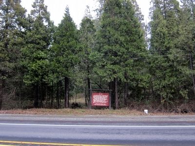
On U.S. 199 0.1 miles south of Draper Valley Road, on the right when traveling north.
This fortified ranch was a donation land claim filed by Wm. B. Hay in 1854. It was attacked by 200 Takelma Indians on March 23, 1856. A battle including hand-to-hand combat raged into the night. The hostiles withdrew in the morning and . . . — — Map (db m91942) HM
On Lower River Road near Hunt Lane, on the left when traveling north.
A ford across the Rogue River, 1/4 mile south of this point, was used by the Hudson's Bay Company as early as 1827; by the US Navy Wilkes Expedition in 1841; and by pioneers of the Applegate Trail. Mr. Long built the first permanent non-Indian . . . — — Map (db m112767) HM
On Old State Highway 99 South near Front Street, on the left when traveling north.
Between 1846 and 1856 the Applegate Trail through Josephine County became a major travel corridor for settles, miners, freighters and those trekking between Oregon and California. Where the well-traveled route crossed the valley of Wolf Creek, a . . . — — Map (db m114479) HM
Near South Bridge Street just north of West Fifth Street, on the right when traveling north.
Dedicated on the Pilgrimage to ‘Mucca on 3 Rabia I, 1380 A.H. (Mohammedan Calendar). Brought by caravan from the sea at Crescent City, California, to dedicate the opening of the new trade route from Winnemucca to the sea and to affirm the . . . — — Map (db m170925) HM
On NW Vine Street at NW Morgan Lane, on the right when traveling north on NW Vine Street.
The OREGON CAVEMEN, claiming to be direct descendants of the Neanderthal Man of ancient times, incorporated as a unit Oct, 1922 in a ceremony held secretly in the depths of the Oregon Caves...their claimed homeland and a national monument. The . . . — — Map (db m195601) HM
This covered bridge is the one remaining covered bridge in Josephine County. It was constructed by Elmer J. Nelson in 1920 as part of the new Pacific Highway project at a cost of $21,128.65. It was built on Josephine County’s first donation land . . . — — Map (db m63153) HM
On Redwood Highway (U.S. 199), on the right when traveling north.
In 1854, Mr. James Kerby obtained first donation land claim in what became Kerbyville. Nearby gold fields attracted many miners and the town became a center of commerce. Mr. Kerby became the first postmaster in September 1855 when the Kerbyville . . . — — Map (db m105285) HM
On Old State Highway 99 South at Front Street, on the left when traveling north on Old State Highway 99 South.
Generations of Oregon school children learned the lyrics of a song: "Hurry up oh pioneers, your faithful little band must never fail." Applegate Trail emigrants struggled to follow this advice, but the mountainous terrain of northern . . . — — Map (db m153823) HM
Thin black lines indicate changes in relevance. Between each pair of lines entries are ordered geographically but all have the same relevance.
* Inflectional forms of words are their plurals, singulars, and possessives as well as gramatical tenses and similar variations.