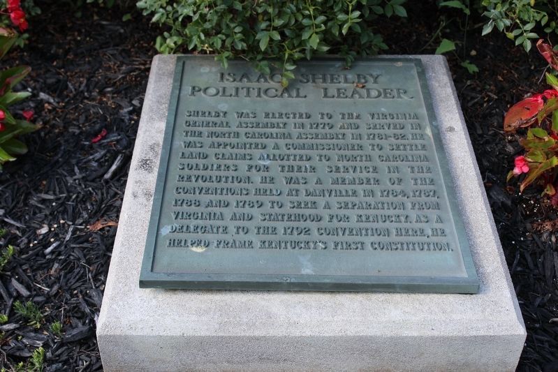
First governor of Kentucky
1792-1796
Fifth governor of Kentucky
1812-1816
One of Shelby’s first acts as Governor was to call for and help design the Great Seal of the Commonwealth of Kentucky. The figures of a pioneer and statesman in this . . . — — Map (db m121734) HM
On South Drew Street at West Bradley Street, on the right when traveling south on South Drew Street.
Star City was laid off in 1871 as the County Seat of the newly created Lincoln County which was named in honor of President Abraham Lincoln. It was the center of many Indian trails and early roads which ran from Mississippi River landings back into . . . — — Map (db m229496) HM
On William Street north of West Broadway Street, on the right when traveling south.
Prisoners at Alton Military Prison
The Alton Military Prison was inhabited by four different classes of prisoner, Confederates, civilians, Federal soldiers and a group called guerillas or bushwhackers.
Confederate prisoners of war made up . . . — — Map (db m211487) HM
On Boone Street at Main Street, on the right when traveling east on Boone Street.
Troy, laid out on the site of Woods' Fort in 1819, lies on an old Sac and Fox Indian campsite where first settlers Joseph Cottle and Zadock Woods built their cabins, 1801. It was the Sac and Fox tribes, outraged by their 1804 land cession which . . . — — Map (db m138510) HM
On Washington Street 0.1 miles west of 10th Street SW, on the left when traveling west.
Cattle baron whose herds, moving from east to west Texas and into New Mexico, expanded into one of the greatest cattle spreads in the west. Coming from Tennessee to Paris, 1837, Chisum joined S. K. Fowler in a cattle venture in Denton County, . . . — — Map (db m201835) HM
This church, the first Associate Reformed Presbyterian congregation in what is now Anderson County, was organized about 1790 about 1 1/2 mi. SW of this site. Rev. Robert Irwin, its first regular minister, served from 1803 until his death in . . . — — Map (db m11747) HM
On U.S. 83 0.3 miles south of Texas Highway 1929, on the left when traveling north.
On this site during the Civil War and later, grazed by tens of thousands the Longhorns of cattle baron John S. Chisum. Ranch headquarters were 10 miles east. Here in 1863-1865, Chisum not only ranched but also was buyer of cattle to feed Confederate . . . — — Map (db m82187) HM
On South Whitworth Avenue, on the right when traveling south.
Front Virgil Brawley, Blind Jim Brewer, Moses “Whispering” Smith and other Brookhaven musicians have spread the blues far and wide, across the country or overseas. Brawley (1948-2018) remained the most locally connected, often returning here to . . . — — Map (db m202883) HM
On Pricedale Drive Southeast 0.8 miles north of Windmill Drive SE, on the left when traveling north.
Home Site 1812-1855
Andrew Moak Sr.
March 1, 1782 S.C. - March 15, 1855
Pioneer - Oldest Settlement
in Lincoln County, Mississippi.
and two wives
Catherine Dominey
July 15, 1784 S.C. - July 18, 1821
Susannah Dominey . . . — — Map (db m249609) HM
Thin black lines indicate changes in relevance. Between each pair of lines entries are ordered geographically but all have the same relevance.
* Inflectional forms of words are their plurals, singulars, and possessives as well as gramatical tenses and similar variations.