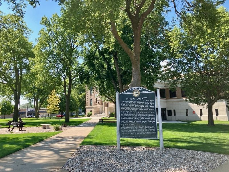
On 5th Avenue at East Avenue, on the right when traveling west on 5th Avenue.
The great immigrant roads to the West which followed the Platte River brought the first settlers to this area. Beginning in the late 1850’s, these frontiersmen operated stage stations, road ranches, and trading posts. An August attack upon a wagon . . . — — Map (db m251226) HM
On B Road near Local Road 748, on the left when traveling north.
Dedicated to those daring pioneers, heralds of modern communication, transportation, and civilization by Phelps County, November 8, 1931 — — Map (db m294427) HM
On Burlington Street 0.3 miles north of West Twenty-Fifth Avenue, on the left when traveling north.
Soils in the Holdrege series are recognized by features of their “profile” created by horizontal layers that are the result of the prairie environment. Holdrege soils exist on 1.8 million acres of landscape in central Nebraska that is the result of . . . — — Map (db m251291) HM
On B Road near Local Road 748, on the right when traveling north.
1849 - Gold rush in California brought thousands of people to Plum Creek heading for California.
1850 - 42,000 people traveled the trail through Plum Creek.
1850 - Cholera epidemic claimed hundreds of travelers along the . . . — — Map (db m294428) HM
On Divide Street west of Lake Street, on the right when traveling west.
Civil War veteran P. C. Funk came to Divide Township in Phelps County in 1877 and purchased 160 acres of land two miles north of the present town. By 1883 the Nebraska-Colorado Railroad, now the Burlington Northern, had extended its line as far west . . . — — Map (db m251231) HM
On B Road north of Local Road 748, on the left when traveling north.
1. You are here at Historical Plum Creek Cemetery. This historical cemetery has over 200 unmarked graves. The burials extend 17 feet beyond the cemetery fence line. Pioneers traveling on the Oregon Trail (later known as the Overland Trail) and . . . — — Map (db m294512) HM
Thin black lines indicate changes in relevance. Between each pair of lines entries are ordered geographically but all have the same relevance.
* Inflectional forms of words are their plurals, singulars, and possessives as well as gramatical tenses and similar variations.