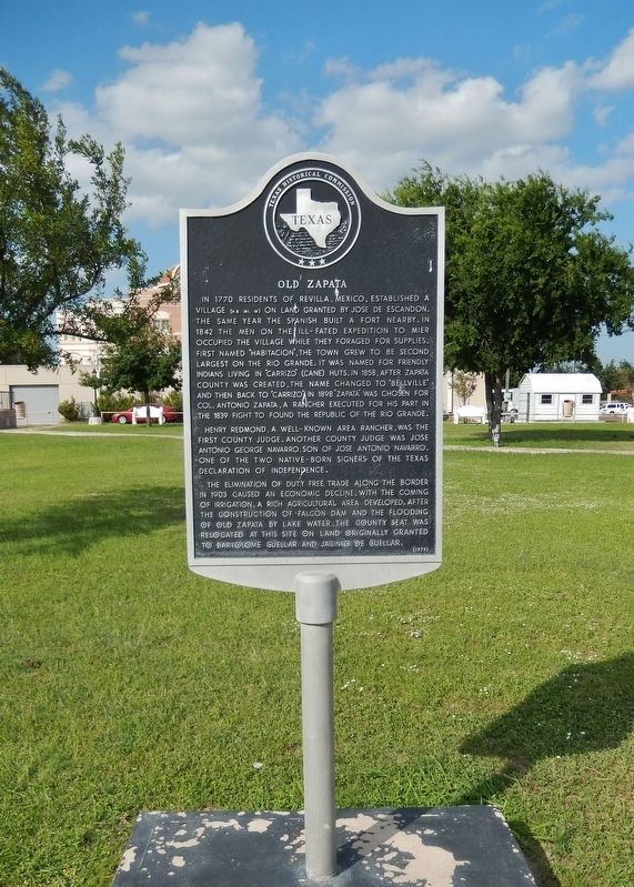
On U.S. 83 north of 6th Avenue, on the right when traveling north.
In 1770 residents of Revilla, Mexico, established a village (4.5 mi. W) on land granted by Jose de Escandon. The same year the Spanish built a fort nearby. In 1842 the men on the ill-fated expedition to Mier occupied the village while they . . . — — Map (db m117577) HM
On U.S. 83 5.7 miles north of West 13th Avenue (Texas Highway 16), on the right when traveling north.
Formed from Webb and Starr counties
Created January 22, 1858 Organized April 26, 1858
Named in honor of
Antonio Zapata
A pioneer stockman of the region
Supporter of the
Republic of the Rio Grande
County seat, Carrizo, 1858 . . . — — Map (db m269520) HM
Los Corralitos was a fortified home in Zapata County, Texas. Made from cut sandstone, mud mortar, mesquite and Montezuma cypress, its walls are 33 inches (one Spanish vara) thick. The single room has one door, no windows and six small gun ports for . . . — — Map (db m136044) HM
On San Bernardo Avenue at Hidalgo Street, on the left when traveling north on San Bernardo Avenue.
Villa de San Agustin de Laredo, founded here by area rancher Tomas Sanchez in 1755, was an agrarian-based community for its first 125 years. The convergence of three railroad lines here in the 1880s significantly expanded business activity in Laredo . . . — — Map (db m203070) HM
Formed from Hidalgo,
Starr and Zapata counties,
Created March 11, 1911
Organized September 2, 1911
Named in honor of
James Abijah Brooks
Captain of Texas Rangers, 1882-1906,
member of Texas Legislature,
County Judge, Brooks County . . . — — Map (db m180468) HM
On Laredo Street south of Washington Avenue (Business U.S. 83), on the right when traveling south.
In the late 1820s, Jesús Treviño bought land and a hacienda from the heirs of José Vásquez Borrego. Treviño and his family, as well as several residents from nearby Revilla, Mexico (Guerrero), established a ranch and settlement and named it for . . . — — Map (db m269487) HM