THE HISTORICAL
MARKER DATABASE
“Bite-Size Bits of Local, National, and Global History”


7 entries match your criteria.  


Historical Markers and War Memorials on Windward Oahu Region
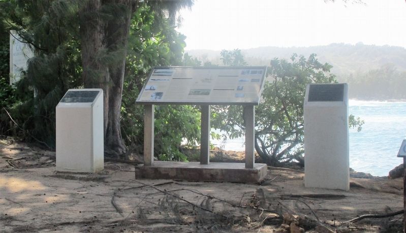
 
By Rev. Ronald Irick, December 5, 2017
Opana Radar Site Marker, on the left
1 ► Hawaii, Honolulu County, Kahuku, Koolauloa — Opana Radar Site — IEEE Electrical Engineering Milestone —
Near Kuilima Drive 0.5 miles north of Hawaii Route 83, on the left when traveling north.
2 ► Hawaii, Honolulu County, Kahuku, Koolauloa — Opana Radar Site — Mobile Radar Unit SR-270B —
Near Kuilima Drive 0.5 miles north of Hawaii Route 83, on the left when traveling north.
3 ► Hawaii, Honolulu County, Kailua, Mokapu — He Ho‘Omana‘o — Marine Air Field —
On G Street (Intrastate H 3 ) John A. Burns Frwy, on the right when traveling north.
4 ► Hawaii, Honolulu County, Kailua, Mokapu — Pohakuloa Amtrac Memorial —
On G Street (Intrastate H 3 ), on the left when traveling north.
5 ► Hawaii, Honolulu County, Laie, Koolauloa — Breaking Ground with a Vision: An Inspired Beginning —
Near Kulanui St.
6 ► Hawaii, Honolulu County, Laie, Koolauloa — Mission School —
On Lanihuli St, on the left when traveling east.
7 ► Hawaii, Honolulu County, Waimanalo — Wolphin Kekaimalu — "Peaceful Sea" — Sea Life Park —
On Kalanianaole Highway (Hawaii Route 72).
 
 
CeraNet Cloud Computing sponsors the Historical Marker Database.
This website earns income from purchases you make after using our links to Amazon.com. We appreciate your support.
Paid Advertisement
Nov. 10, 2026
