THE HISTORICAL
MARKER DATABASE
“Bite-Size Bits of Local, National, and Global History”


5 entries match your criteria.  


Related Historical Markers

First Battle of Kinston by Markers
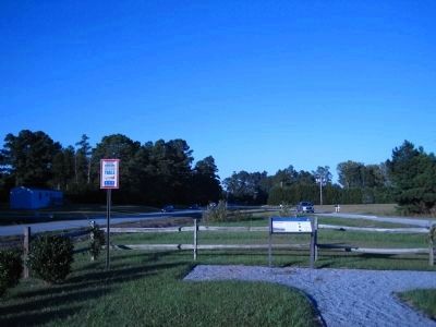
 
By Kevin W., October 20, 2009
Battle of Kinston Marker
SHOWN IN SOURCE-SPECIFIED ORDER
1 ► North Carolina, Lenoir County, Kinston — Battle of Kinston — Foster's Position on Southwest Creek — Foster's Raid —
On Richlands Road (U.S. 258) at Stroud's Corner Road on Richlands Road.
2 ► North Carolina, Lenoir County, Kinston — First Battle of Kinston — Harriet's Chapel — Foster's Raid —
On Richlands Road (U.S. 258) 0.2 miles south of New Bern Road (U.S. 70), on the right when traveling north.
3 ► North Carolina, Lenoir County, Kinston — Battle of Kinston — Federals Turn the Confederate Flank — Foster's Raid —
On Meadowbrook Drive at Harriette Drive, on the right when traveling north on Meadowbrook Drive.
4 ► North Carolina, Lenoir County, Kinston — F-20 — Foster's Raid —
On South Queen Street (U.S. 258) at East New Bern Road (U.S. 70), on the right when traveling north on South Queen Street.
5 ► North Carolina, Lenoir County, Kinston — Battle of Kinston — Confederates Retreat Across Jones Bridge — Foster's Raid —
On South Queen Street (U.S. 258) at East New Bern Road (U.S. 70), on the right when traveling north on South Queen Street.


CeraNet Cloud Computing sponsors the Historical Marker Database.
This website earns income from purchases you make after using our links to Amazon.com. We appreciate your support.
Paid Advertisement
Nov. 11, 2026
