7 entries match your criteria.
Related Historical Markers
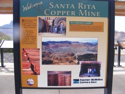
Santa Rita Copper Mine
By Don Morfe, September 9, 2008
Santa Rita Copper Mine Marker
SHOWN IN SOURCE-SPECIFIED ORDER
| On State Road 152, on the right when traveling east. |
| On Scenic State Road 152, 1.1 miles east of State Highway 356, on the right when traveling east. |
| On Scenic State Road 152, 1.1 miles east of State Highway 356, on the right when traveling east. |
| On Scenic State Road 152, 1.1 miles east of State Highway 356, on the right when traveling east. |
| On Scenic State Road 152, 1.1 miles east of State Highway 356, on the right when traveling east. |
| On Scenic State Road 152, 1.1 miles east of State Highway 356, on the right when traveling east. |
| On Scenic State Road 152, 1.1 miles east of State Highway 356, on the right when traveling east. |
Jun. 17, 2024