THE HISTORICAL
MARKER DATABASE
“Bite-Size Bits of Local, National, and Global History”


9 entries match your criteria.  


Kansas, Baxter Springs Civil War Tour Historical Markers

City markers highlighting Civil War events in Baxter Springs.
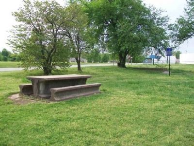
 
By William Fischer, Jr., April 12, 2012
Baxter Springs Massacre Marker
1 ► Kansas, Cherokee County, Baxter Springs — 6 — Baxter Springs Massacre — Civil War Tour —
On Military Avenue (U.S. 69), on the right when traveling south.
2 ► Kansas, Cherokee County, Baxter Springs — 9 — Baxter Springs Massacre Burial Site — Civil War Tour —
On 6th Street near Military Avenue (U.S. 69), on the left when traveling east.
3 ► Kansas, Cherokee County, Baxter Springs — 12 — Camp Logan — Civil War Tour —
On Oak Crest at Fairview Avenue, on the right when traveling east on Oak Crest.
4 ► Kansas, Cherokee County, Baxter Springs — 11 — Civil War Tour —
Near West Avenue (U.S. 166).
5 ► Kansas, Cherokee County, Baxter Springs — 8 — Civil War Tour —
On North Willow Avenue north of West A Street, on the right when traveling north.
6 ► Kansas, Cherokee County, Baxter Springs — 4 — Fort Blair — Civil War Tour —
On East Avenue near 6th Street, on the right when traveling south.
7 ► Kansas, Cherokee County, Baxter Springs — 1 — Quantrill's Raiders Ford Spring River — Civil War Tour —
On 12th Street (U.S. 166), on the right when traveling west.
8 ► Kansas, Cherokee County, Baxter Springs — 3 — Quantrill's Raiders Kill Johnny Fry — Civil War Tour —
On Washington Avenue at 10th Street, on the left when traveling north on Washington Avenue.
9 ► Kansas, Cherokee County, Baxter Springs — 2 — Quantrill's Raiders Prepare to Attack Fort Blair — Civil War Tour —
On 10th Street, on the left when traveling east.
 
 
CeraNet Cloud Computing sponsors the Historical Marker Database.
This website earns income from purchases you make after using our links to Amazon.com. We appreciate your support.
Paid Advertisement
Nov. 13, 2026
