5 entries match your criteria.
Related Historical Markers
Fort Matanzas National Monument
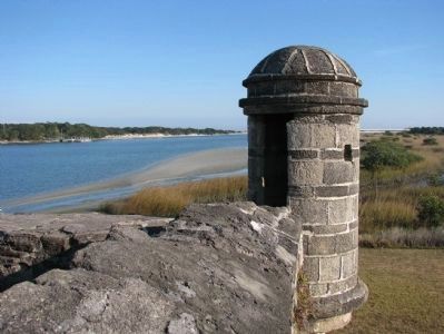
By Cosmos Mariner, January 14, 2010
Fort Matanzas Sentry Box
SHOWN IN SOURCE-SPECIFIED ORDER
| Near A1A Scenic and Historic Coastal Byway (State Road A1A) 4 miles south of State Road 206, on the right when traveling south. |
| Near A1A Scenic and Historic Coastal Byway (State Highway A1A) 4 miles south of State Highway 206, on the right when traveling south. |
| Near A1A Scenic and Historic Coastal Byway (State Highway A1A) 4 miles south of State Highway 206, on the right when traveling south. |
| Near A1A Scenic and Historic Coastal Byway (State Highway A1A) 4 miles south of State Highway 206, on the right when traveling south. |
| Near A1A Scenic and Historic Coastal Byway (State Highway A1A) 4 miles south of State Highway 206, on the right when traveling south. |
Nov. 11, 2026
