THE HISTORICAL
MARKER DATABASE
“Bite-Size Bits of Local, National, and Global History”


3 entries match your criteria.  


Related Historical Markers

Buttermilk Falls
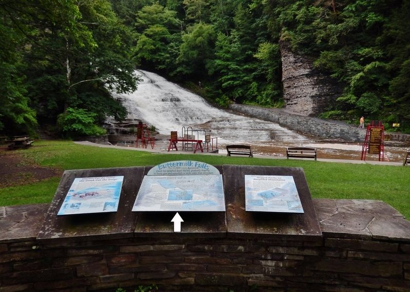
 
By Cosmos Mariner, July 14, 2017
Buttermilk Falls Marker
SHOWN IN SOURCE-SPECIFIED ORDER
1 ► New York, Tompkins County, Ithaca — Buttermilk Falls — A Small Part of a Grand Watershed —
Near East Buttermilk Falls Road 0.1 miles east of Elmira Road (New York State Route 96) when traveling east.
2 ► New York, Tompkins County, Ithaca — Glaciers Cut the Valley; the Creek Cut the Gorge —
Near East Buttermilk Falls Road 0.1 miles east of Elmira Road (New York State Route 96) when traveling east.
3 ► New York, Tompkins County, Ithaca — Buttermilk's Rugged Rocks are Recycled Mountains —
Near East Buttermilk Falls Road 0.1 miles east of Elmira Road (New York State Route 96) when traveling east.


CeraNet Cloud Computing sponsors the Historical Marker Database.
This website earns income from purchases you make after using our links to Amazon.com. We appreciate your support.
Paid Advertisement
Nov. 11, 2026
