11 entries match your criteria.
Related Historical Markers
Eustis Lake Walk
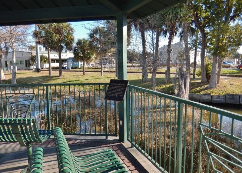
By Cosmos Mariner, February 4, 2021
Memorial Band Shell Marker
SHOWN IN SOURCE-SPECIFIED ORDER
| Near North Bay Street (Florida Route 19) at West Clifford Avenue, on the right when traveling south. |
| Near Ferran Park Drive at East McDonald Avenue, on the right when traveling south. |
| Near North Bay Street (Florida Route 19) at West Clifford Avenue, on the right when traveling south. |
| Near Ferran Park Drive at East McDonald Avenue, on the right when traveling south. |
| Near North Bay Street (Florida Route 19) at Gottsche Avenue, on the right when traveling south. |
| Near North Bay Street (Florida Route 19) at Gottsche Avenue, on the right when traveling south. |
| Near North Bay Street (Florida Route 19) at Hazzard Avenue, on the right when traveling south. |
| Near North Bay Street (Florida Route 19) at Hazzard Avenue, on the right when traveling south. |
| Near Northshore Drive 0.1 miles west of North Bay Street ( Route 19) when traveling west. |
| Near North Bay Street (Florida Route 19) at Northshore Drive (Bates Avenue), on the right when traveling south. |
| Near Northshore Drive 0.1 miles west of North Bay Street ( Route 19) when traveling west. |
Nov. 10, 2026
