3 entries match your criteria.
Related Historical Markers
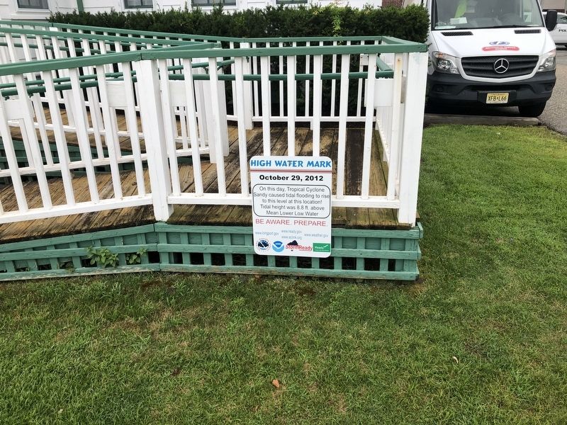
By Devry Becker Jones (CC0), July 24, 2020
High Water Mark Marker
SHOWN IN SOURCE-SPECIFIED ORDER
1 ► New Jersey, Atlantic County, Longport — High Water Mark — October 29, 2012 —  |
| On Atlantic Avenue just west of South 24th Avenue, on the right when traveling west. | |||
| 2 ► New York, New York County, Manhattan, Two Bridges — High Water Mark — 5.0 Feet — October 29, 2012 — |
| On South Street near Rutgers Slip, on the right when traveling north. | |||
| 3 ► New York, New York County, Manhattan, Seaport — High Water Mark — 4.0 Feet — October 29, 2012 — |
| On South Street near John Street, on the right when traveling north. | |||