THE HISTORICAL
MARKER DATABASE
“Bite-Size Bits of Local, National, and Global History”


5 entries match your criteria.  


Related Historical Markers

Parc de la frontière (Frontier Park)
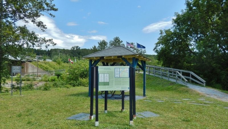
 
By Cosmos Mariner, August 2, 2019
The Canada-USA Border Marker (wide view)
SHOWN IN SOURCE-SPECIFIED ORDER
1 ► Maine, Aroostook County, Estcourt Station — La frontière canado-américaine / The Canada-USA Border —
Near Rue de la Frontière 0.3 miles north of Rue Principale (Maine Route 289), on the right when traveling north.
2 ► Québec, Témiscouata, Pohénégamook — Le bootlegging dans le Transcontinental / Bootlegging in the Transcontinental Region —
Near Rue de la Frontière 0.5 kilometers north of Rue Principale (Québec Route 289) when traveling north.
3 ► Québec, Témiscouata, Pohénégamook — Le Pont International / The International Bridge —
Near Rue de la Frontière 0.5 kilometers north of Rue Principale (Québec Route 289) when traveling north.
4 ► Québec, Témiscouata, Pohénégamook — Le chemin de fer Le Transcontinental / The Transcontinental Railway —
Near Rue de la Frontière 0.5 kilometers north of Rue Principale (Québec Route 289) when traveling north.
5 ► Québec, Témiscouata, Pohénégamook — Les Chemins de Fer Du Témiscouata / The Témiscouata Railways —
Near Rue de la Frontière 0.5 kilometers north of Rue Principale (Québec Route 289) when traveling north.


CeraNet Cloud Computing sponsors the Historical Marker Database.
This website earns income from purchases you make after using our links to Amazon.com. We appreciate your support.
Paid Advertisement
Nov. 11, 2026
