THE HISTORICAL
MARKER DATABASE
“Bite-Size Bits of Local, National, and Global History”


4 entries match your criteria.  


Related Historical Markers

To better understand the relationship, study each marker in the order shown.
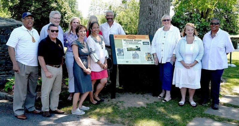
 
By David Weed, circa June 17, 2021
Mount Hope Marker unveiling
SHOWN IN SOURCE-SPECIFIED ORDER
1 ► Rhode Island, Bristol County, Bristol — Mount Hope — Sacred Land of the Pokanokets — A Sowams Heritage Area Site —
Near Metacom Avenue (Rhode Island Route 136) 0.1 miles south of Mount Hope Avenue, on the right when traveling north.
2 ► Rhode Island, Bristol County, Warren — Early Warren and the start of King Philip's War —
On Child Street (Rhode Island Route 103) at Hugh Cole Road, on the right when traveling east on Child Street.
3 ► Massachusetts, Norfolk County, Weymouth — The Last Indian Attack —
On Washington Street (Massachusetts Route 53) at Winter Court, on the right when traveling east on Washington Street.
4 ► Rhode Island, Newport County, Little Compton — Buying & Selling Acoaxet / The English at Sakonnet / Christian Indians / Life in the 18th Century — [Awashonks Garden] —
Near West Main Road (Rhode Island Route 77) south of Fairfields Drive, on the right when traveling north.


CeraNet Cloud Computing sponsors the Historical Marker Database.
This website earns income from purchases you make after using our links to Amazon.com. We appreciate your support.
Paid Advertisement
Nov. 10, 2026
